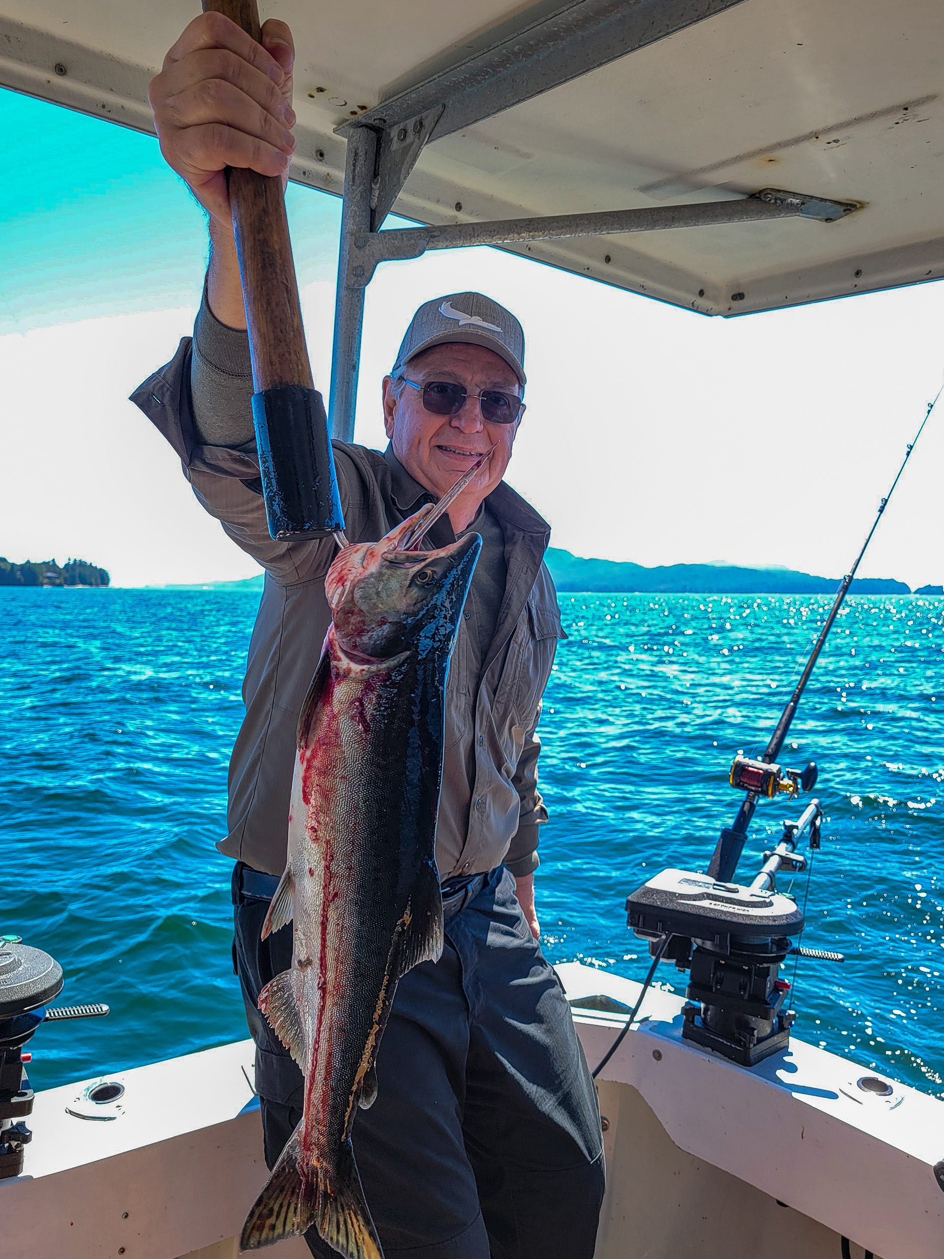
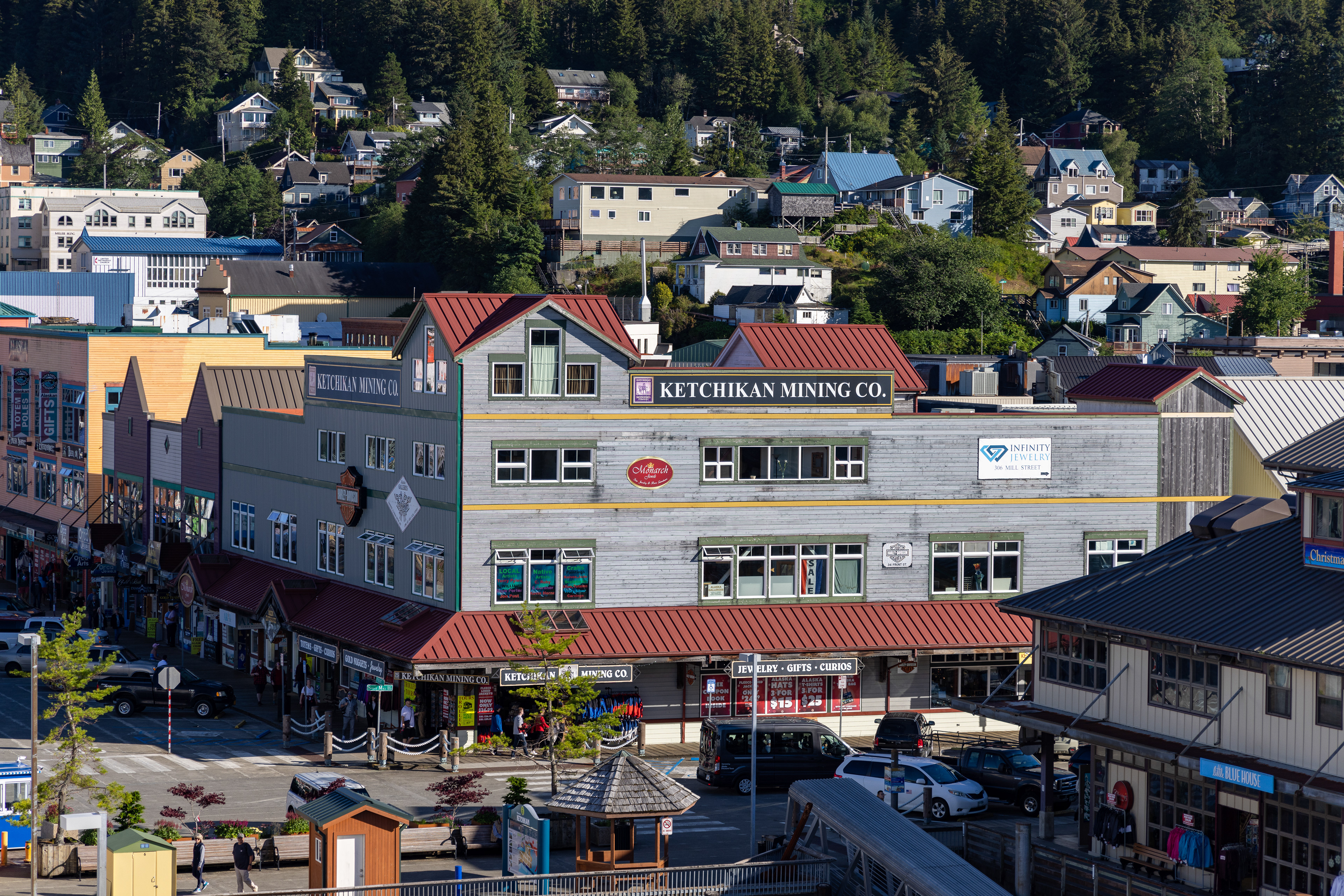
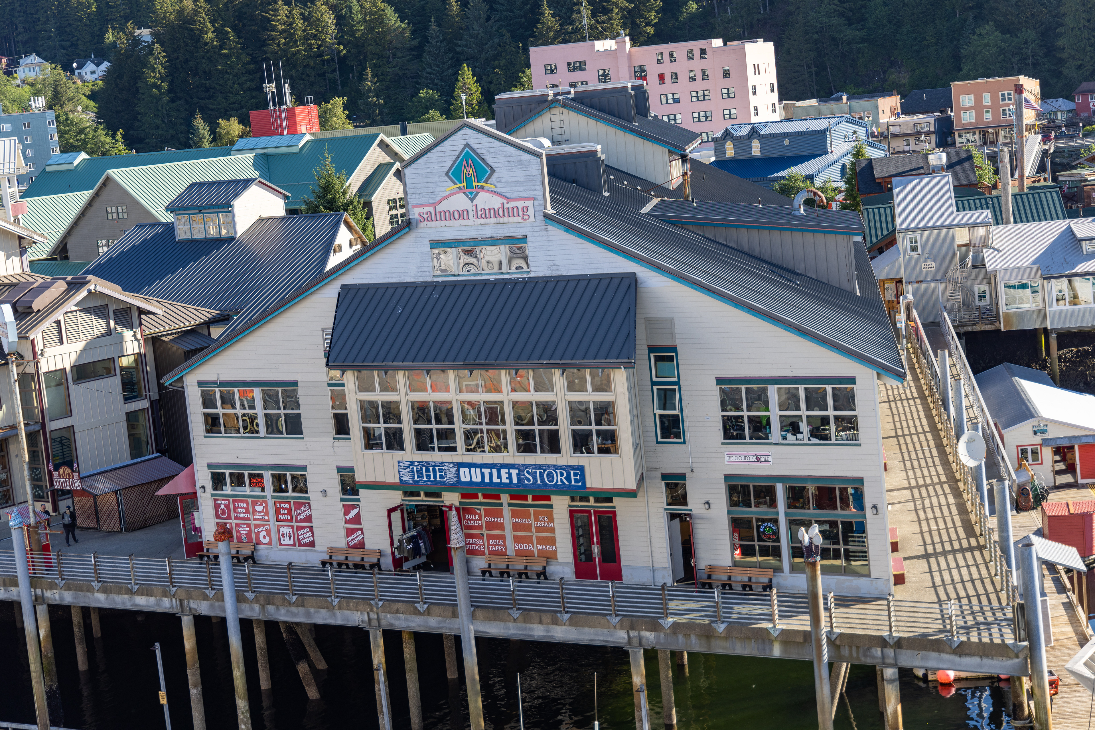
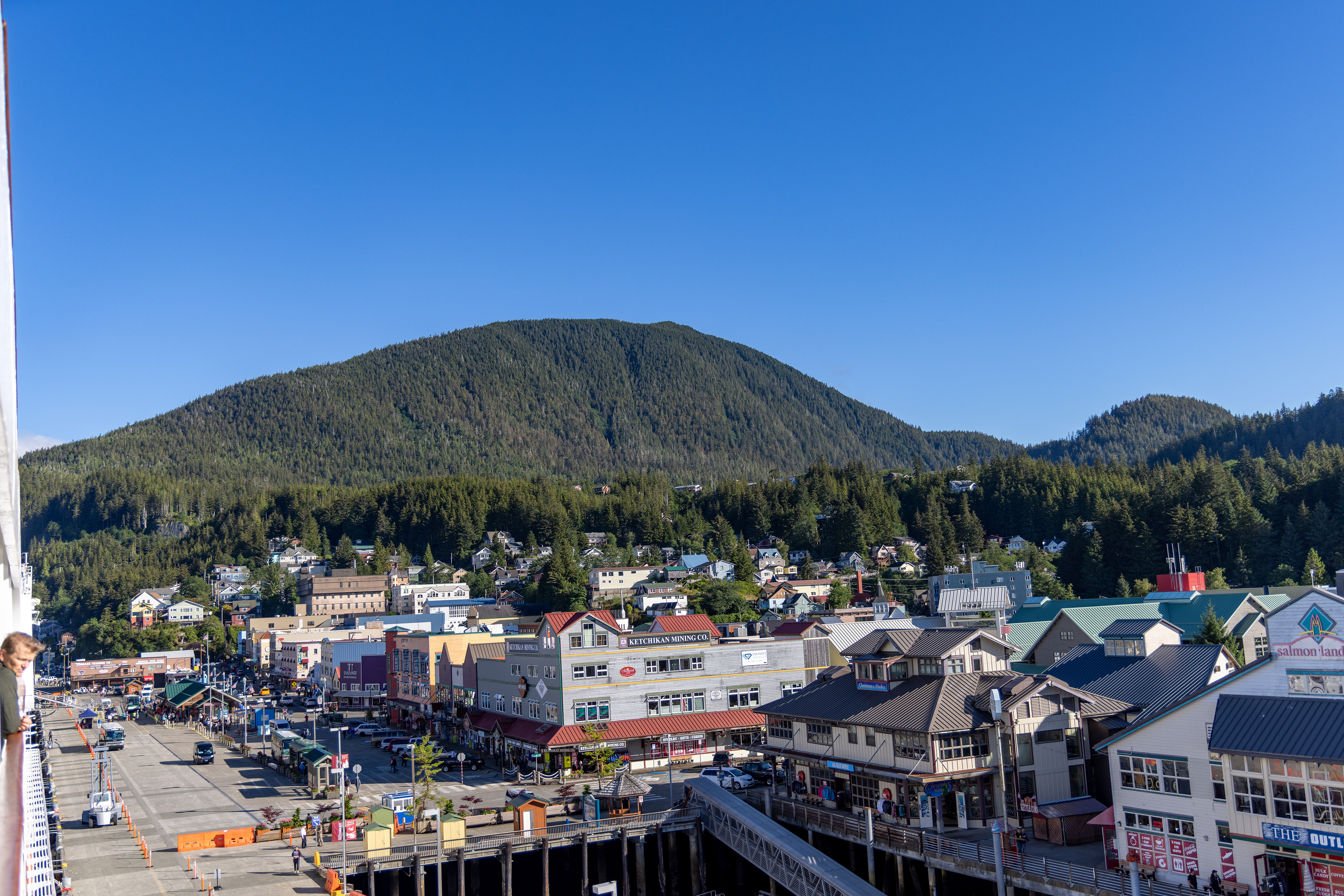

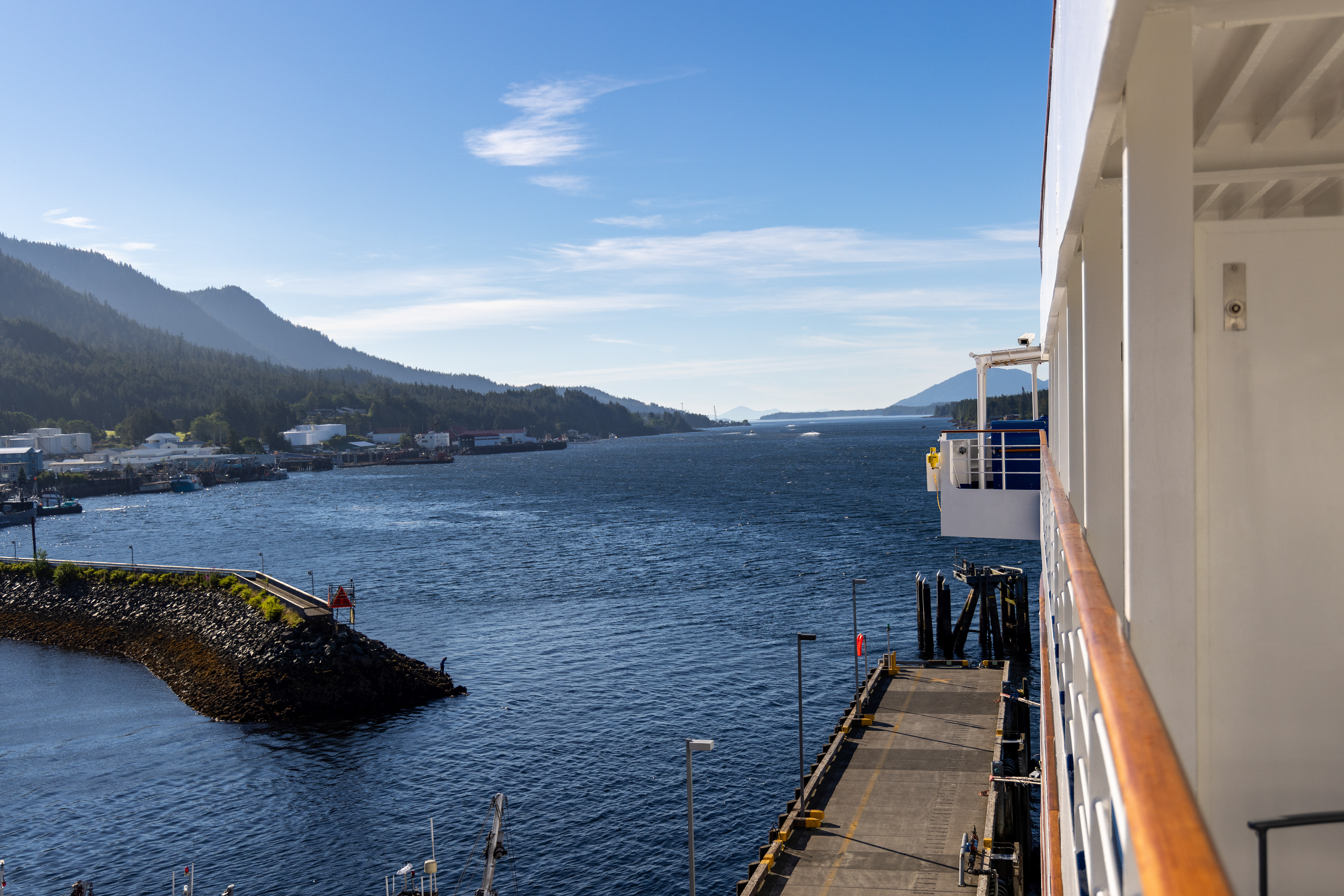
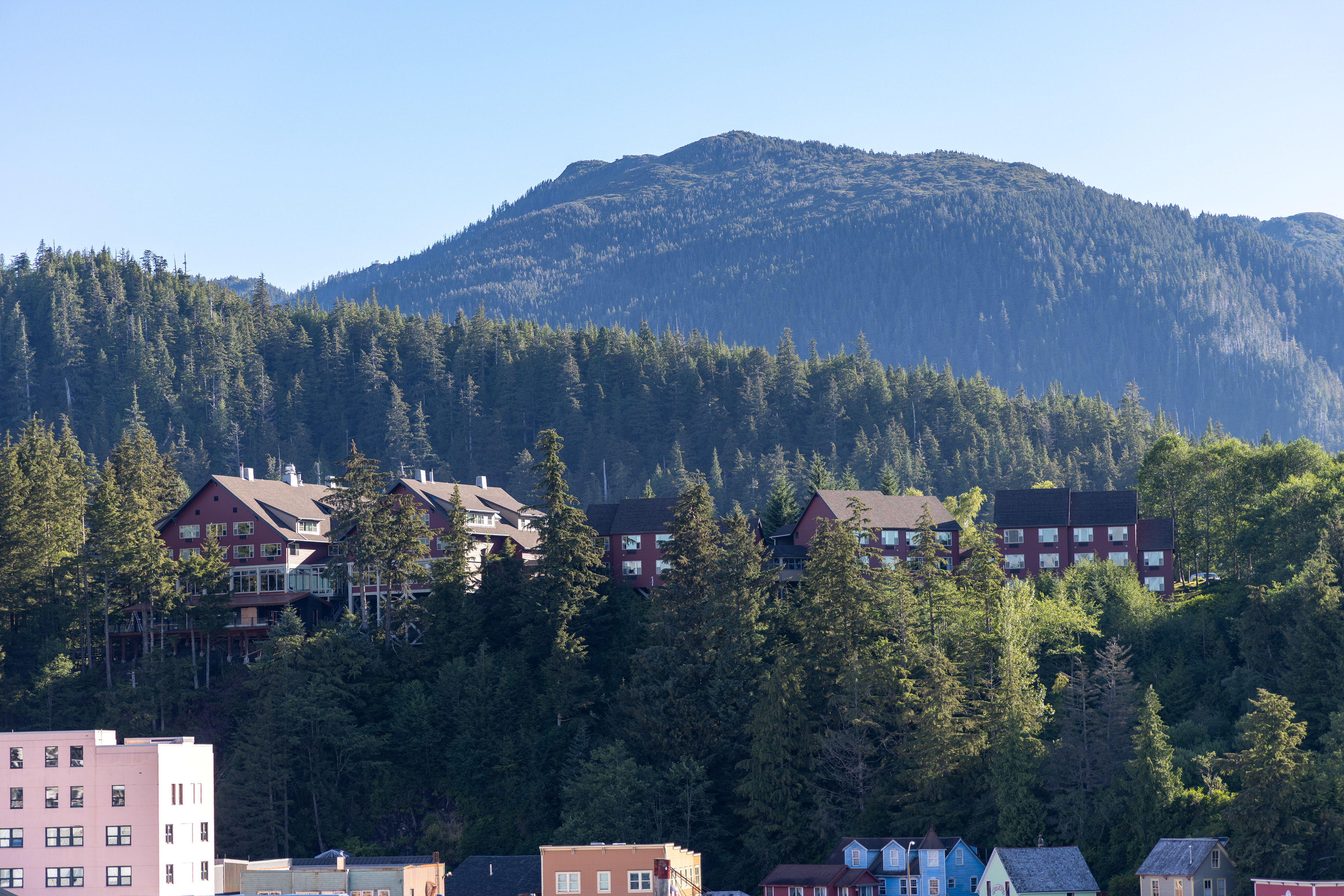
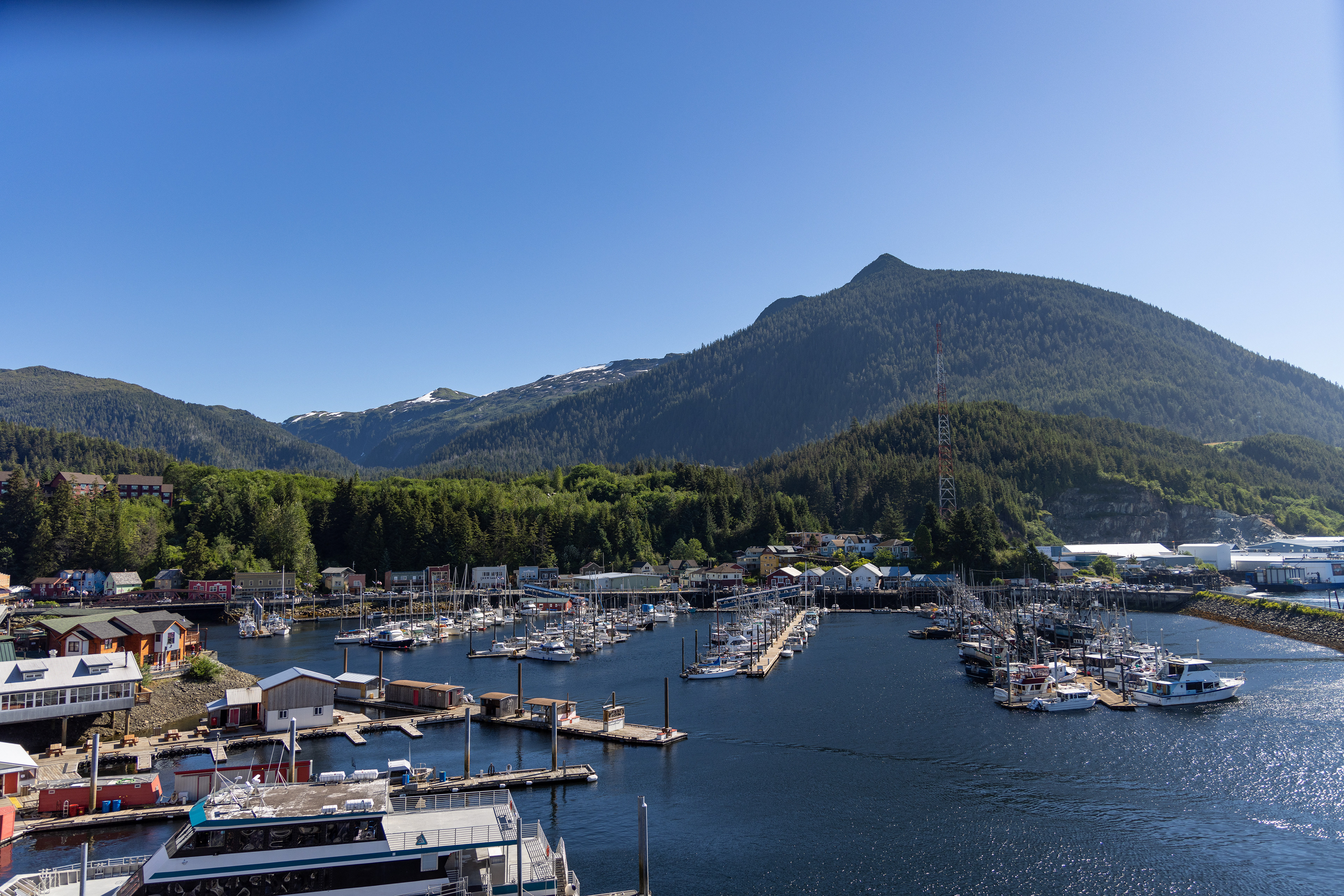
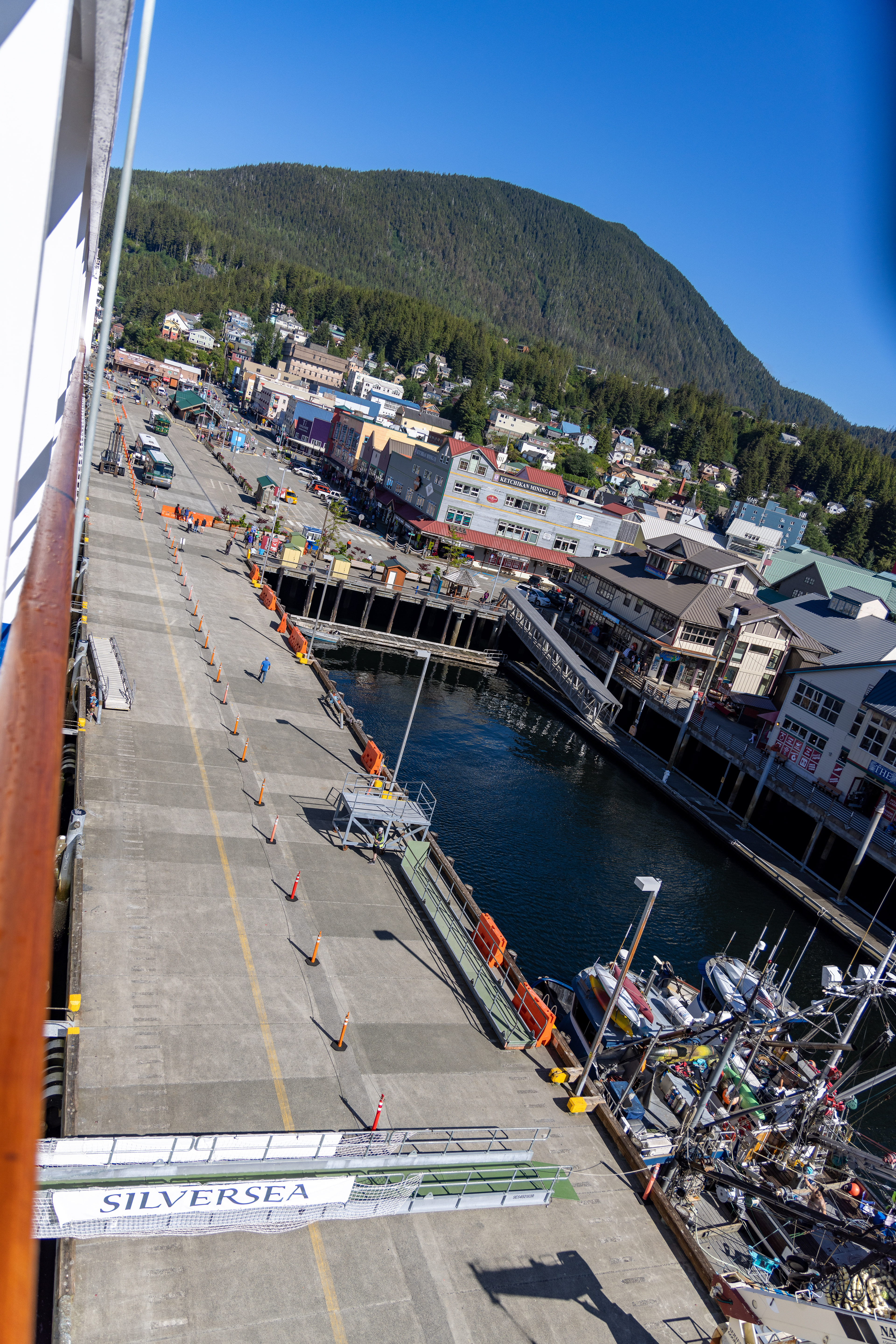
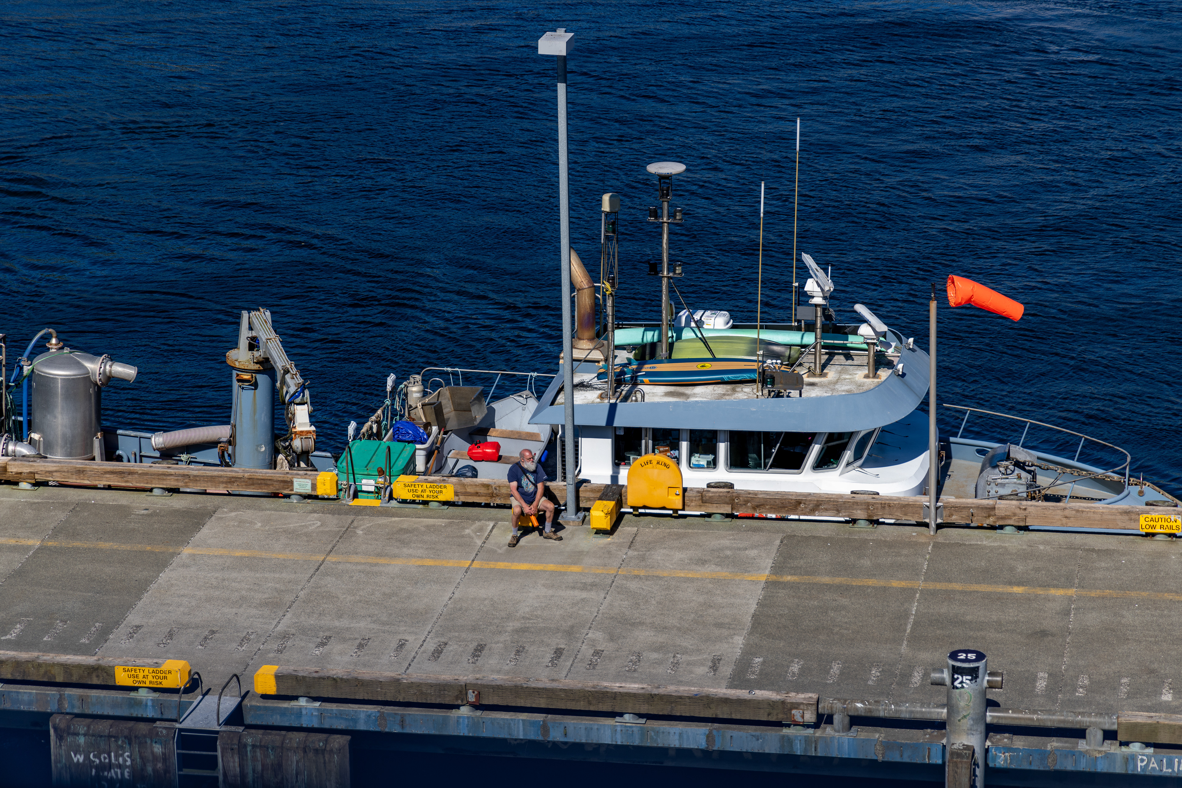
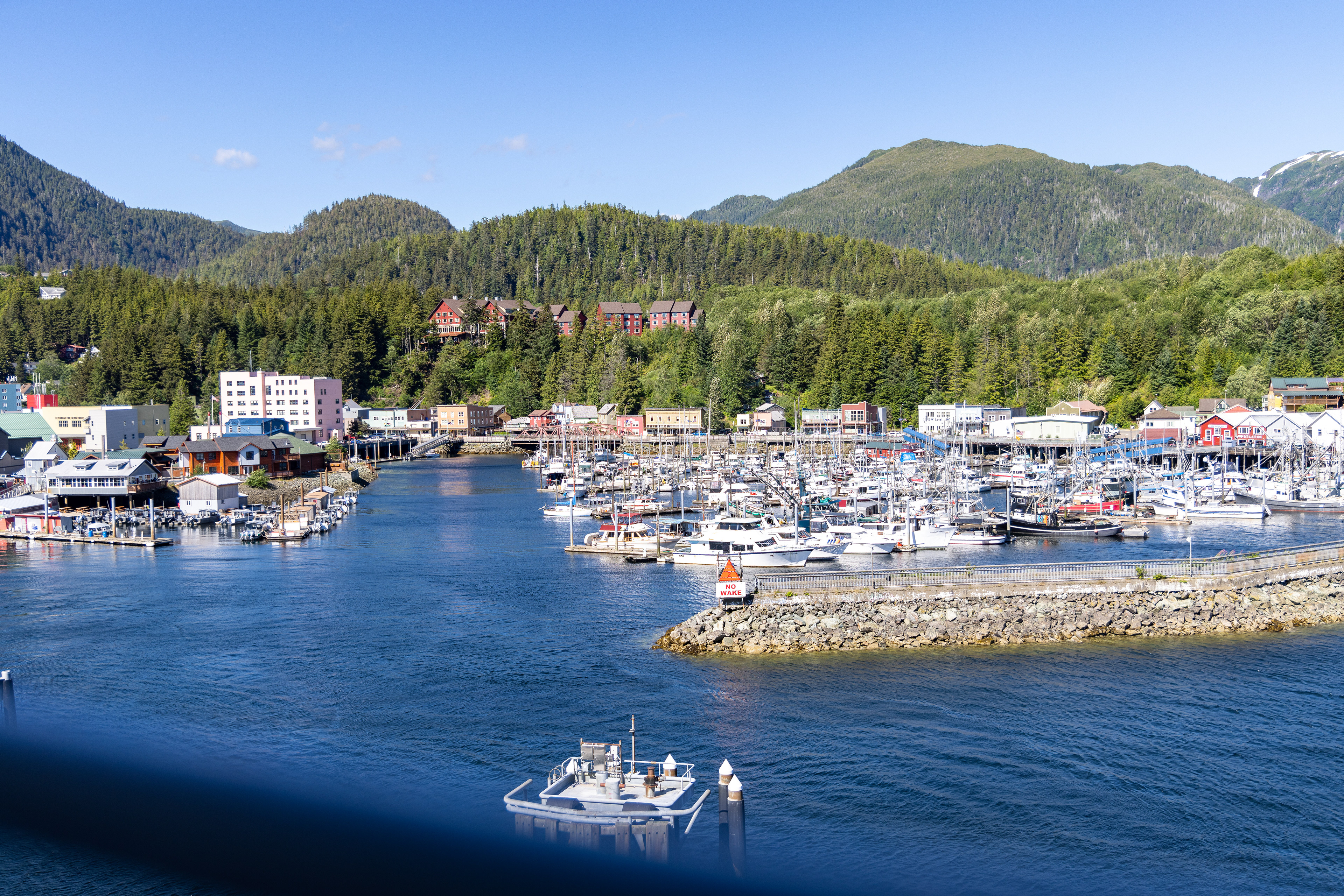
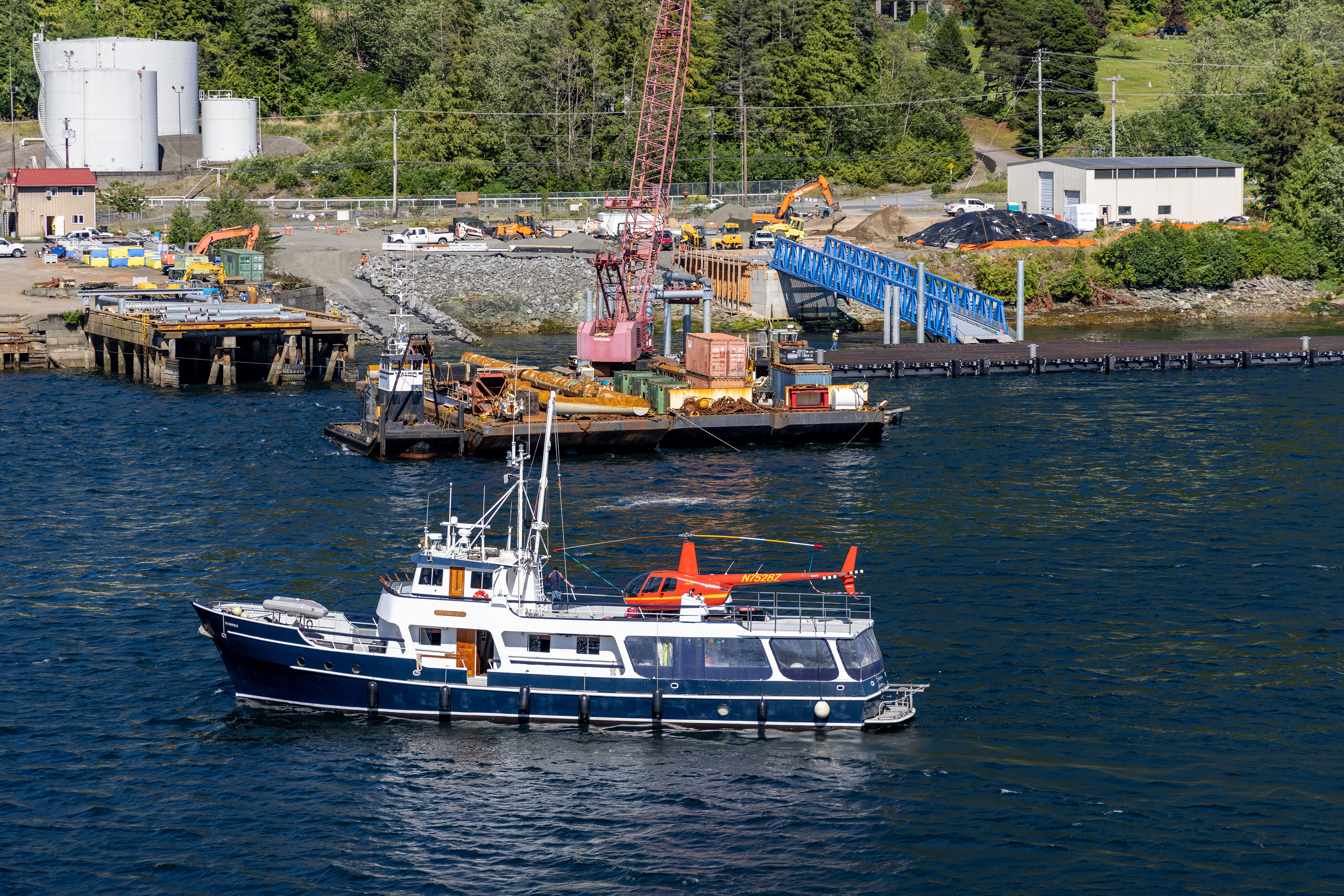

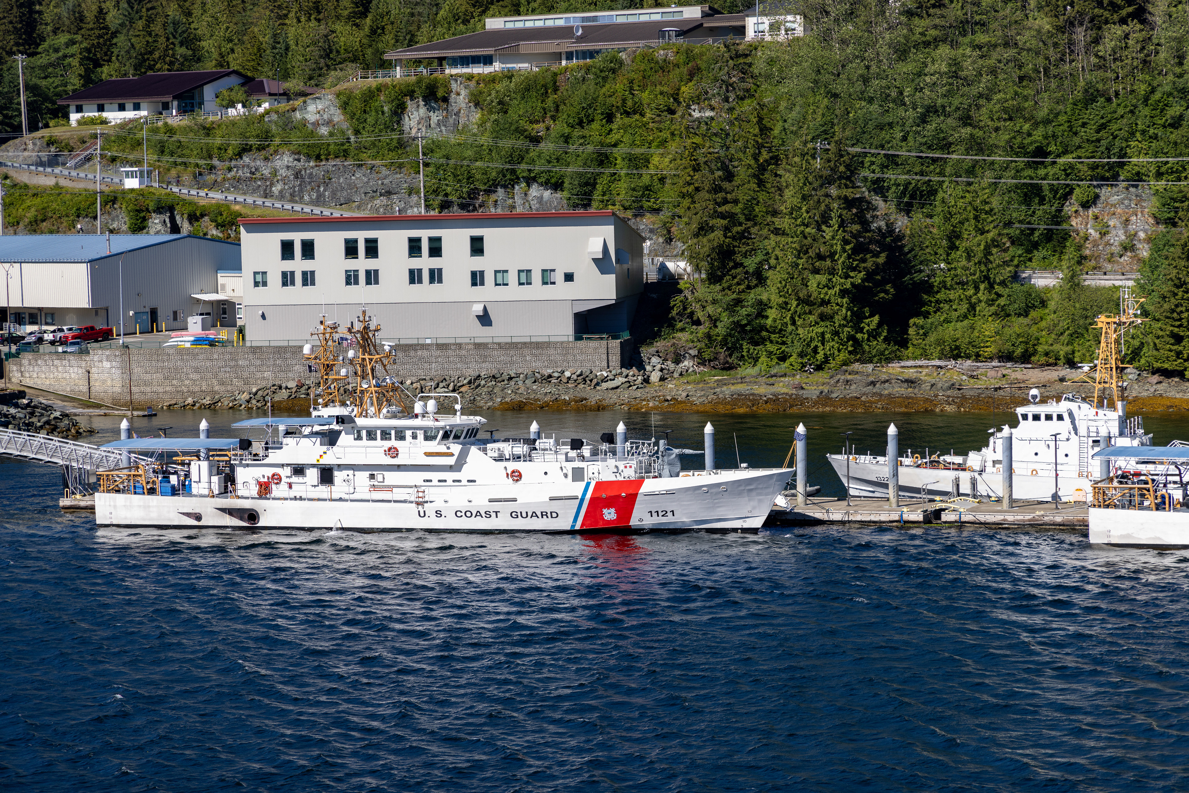
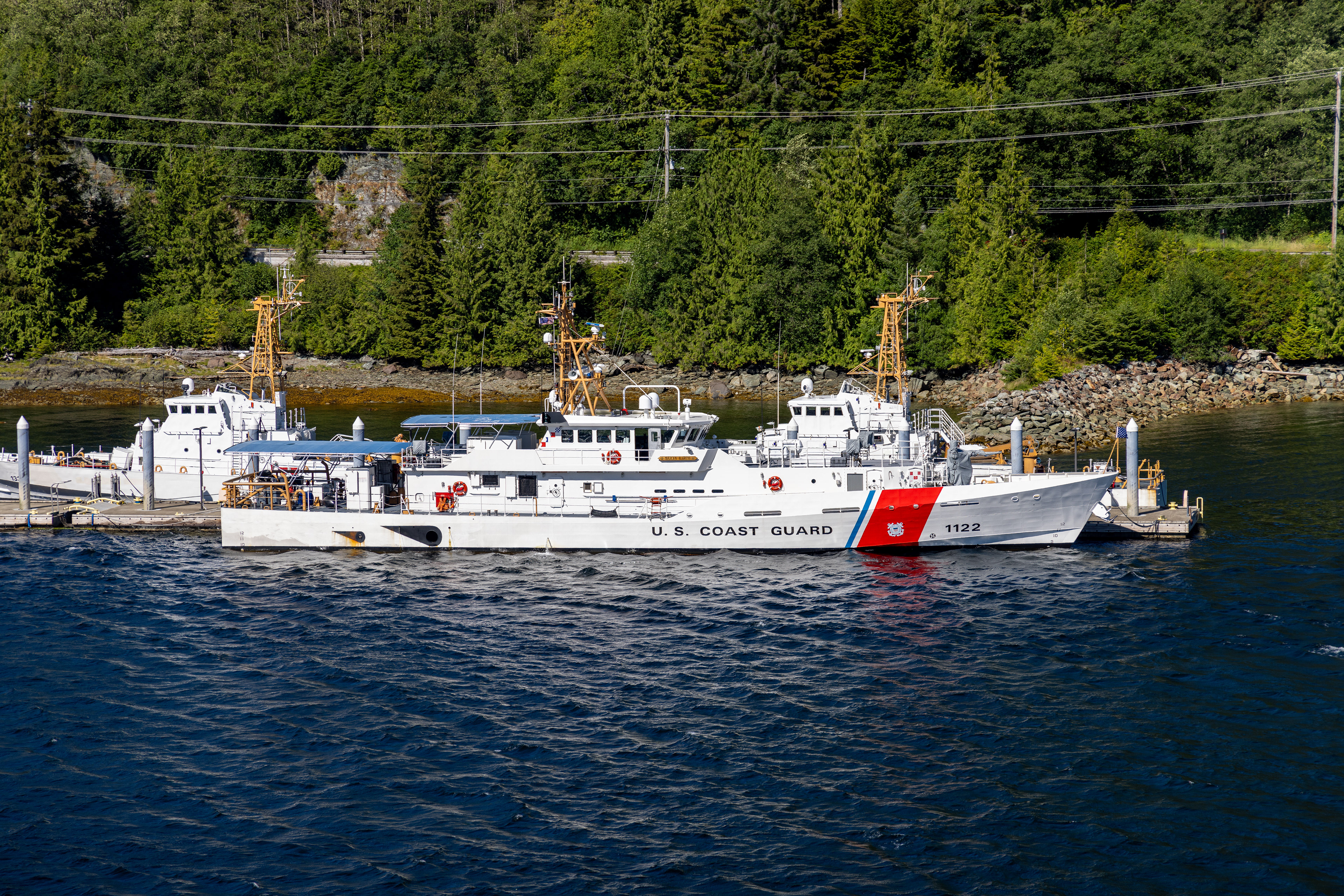

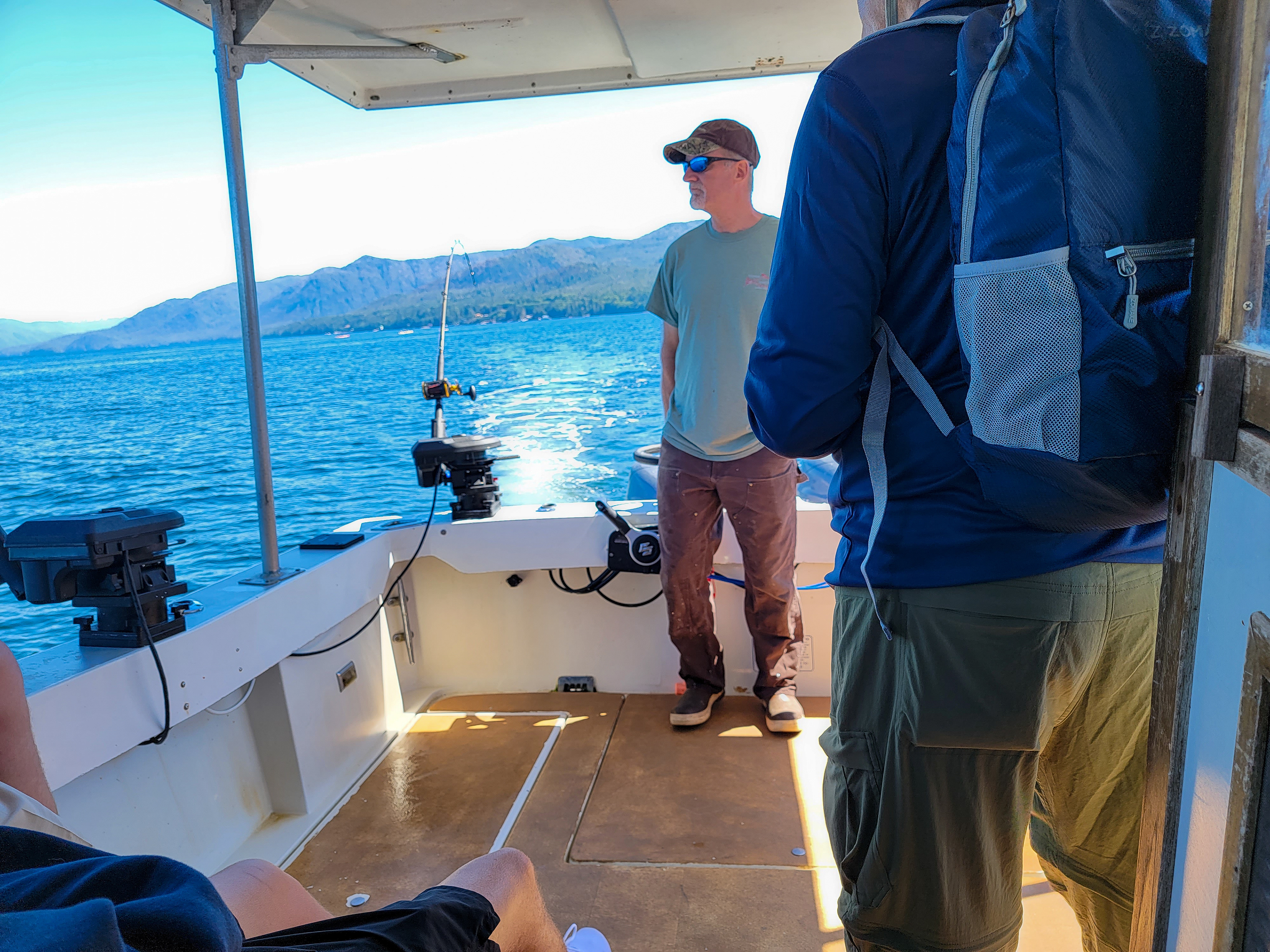

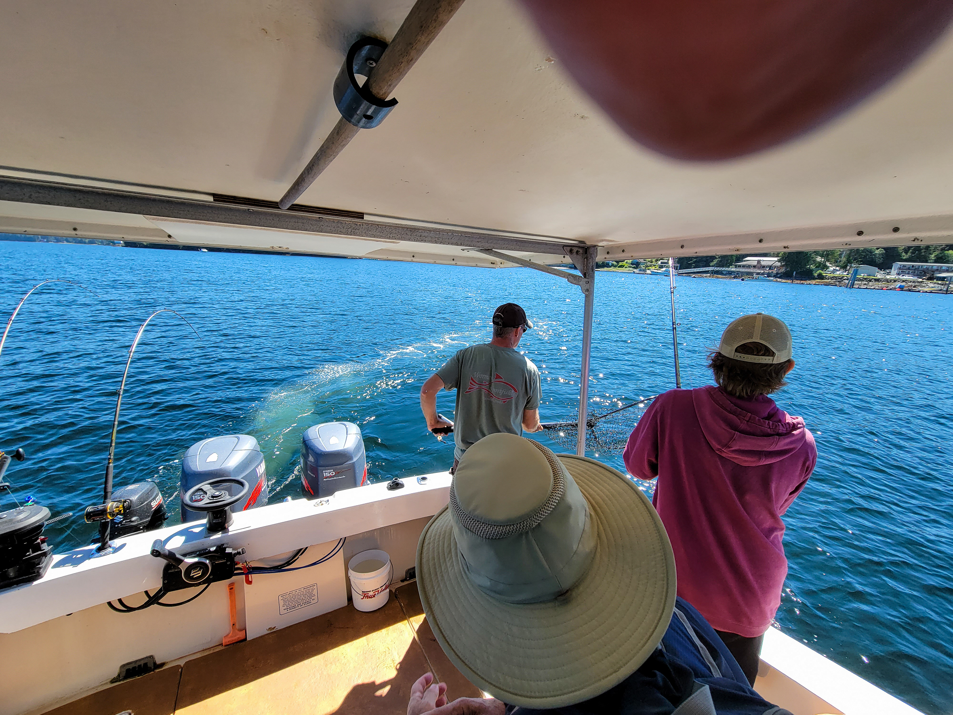
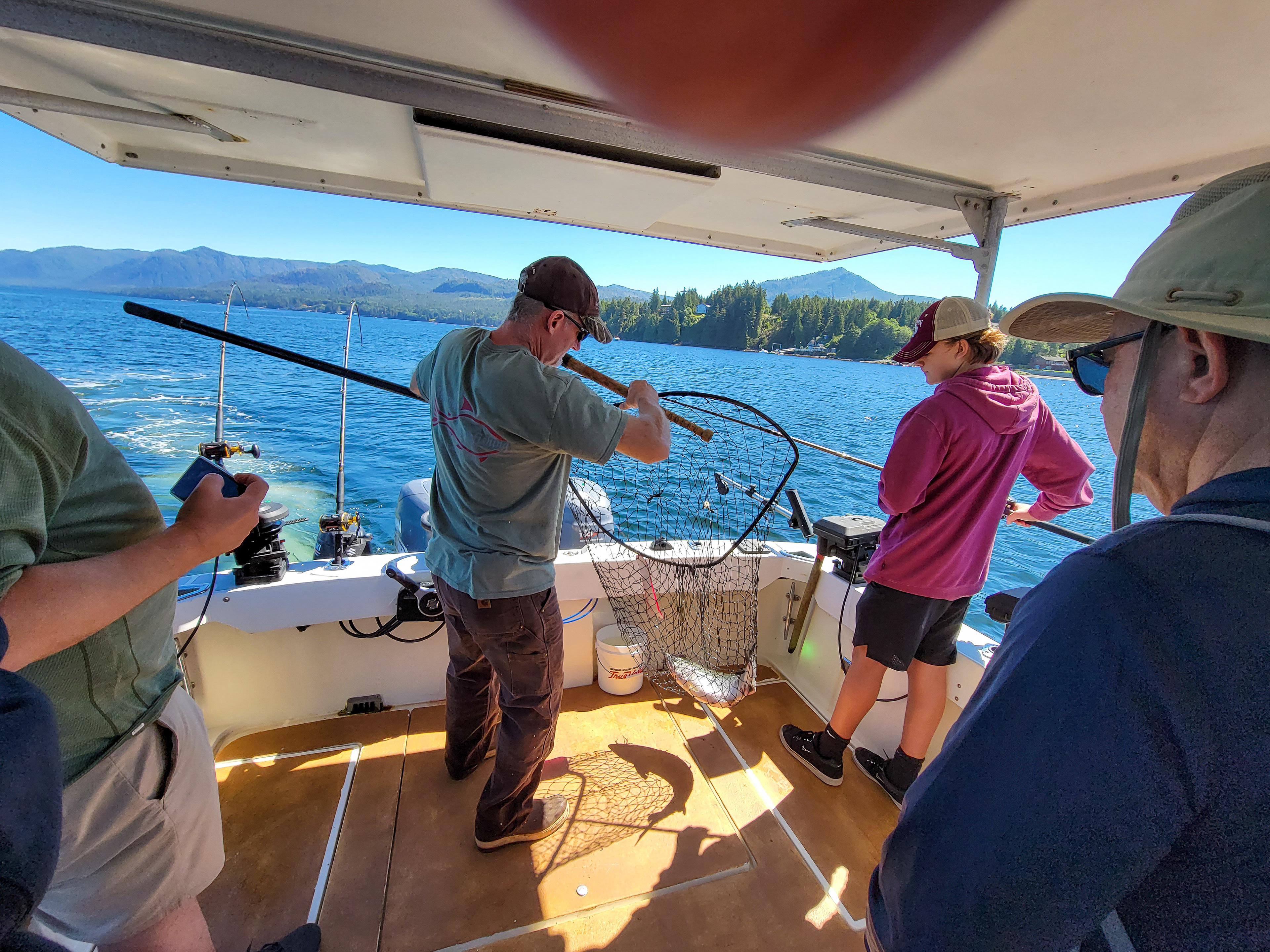
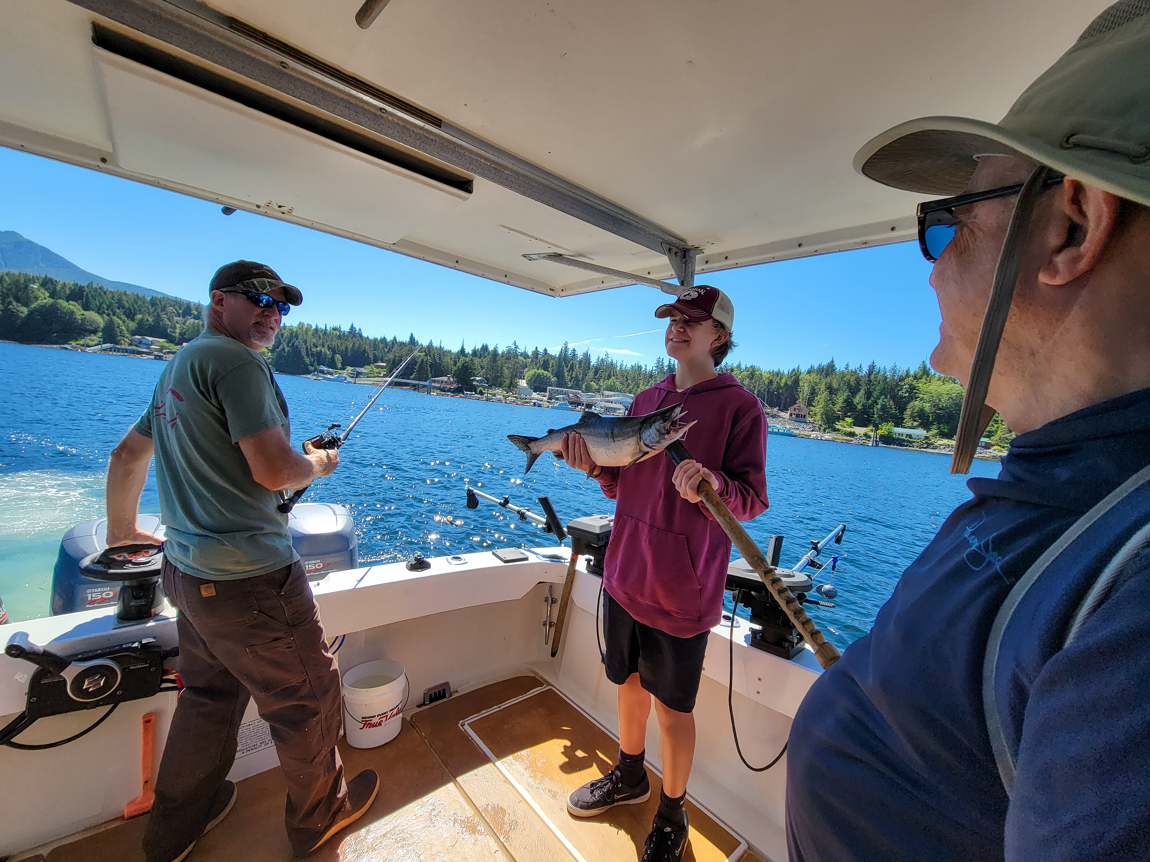

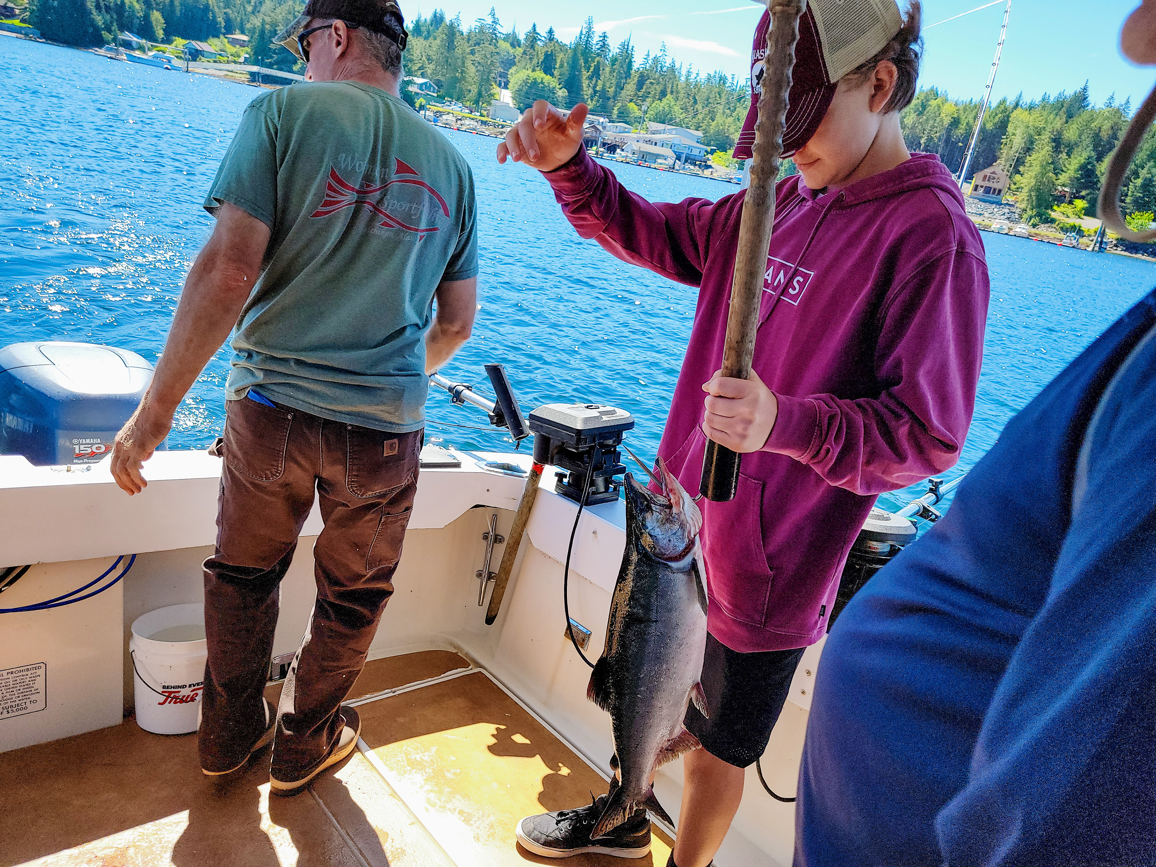
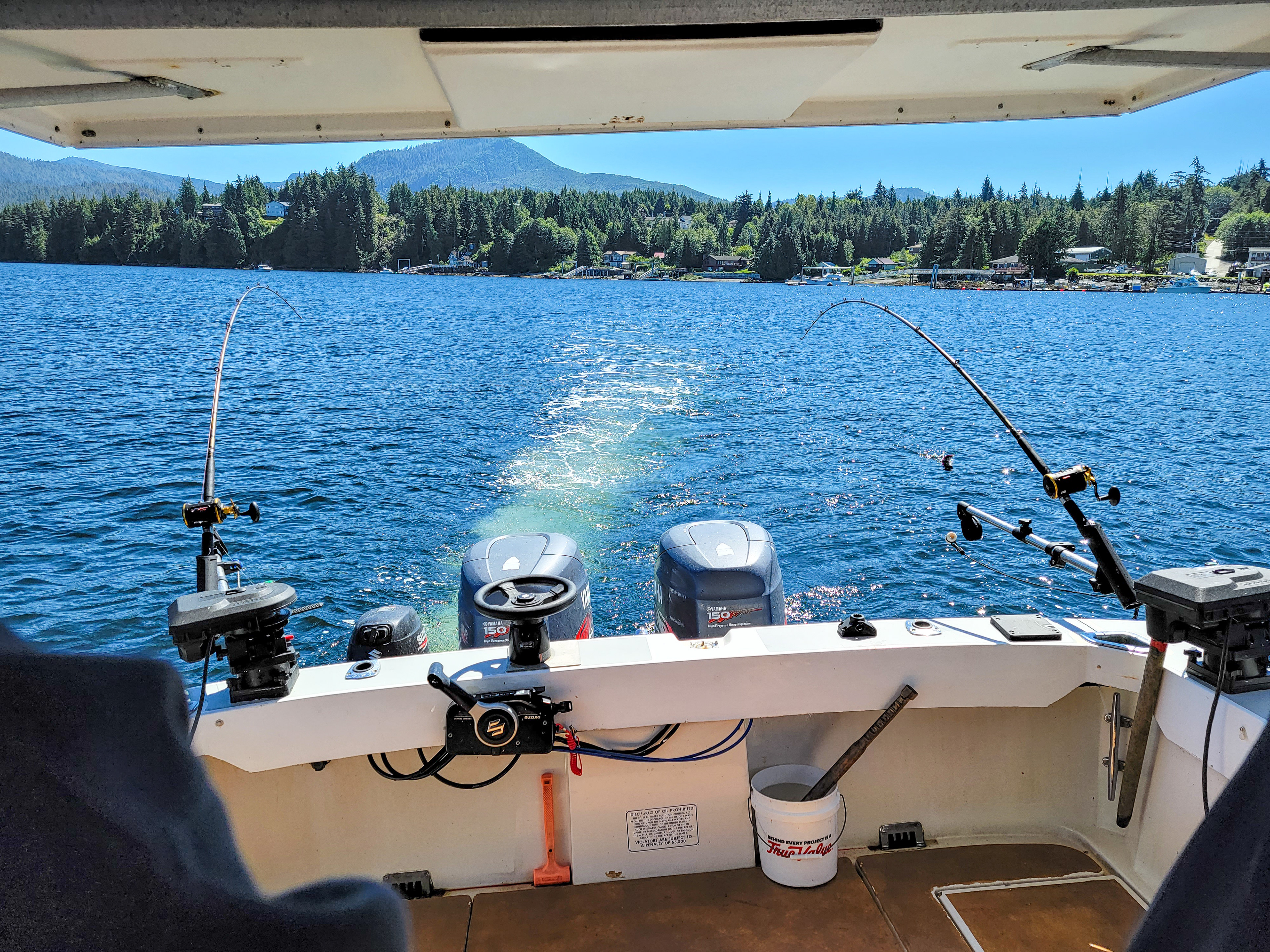
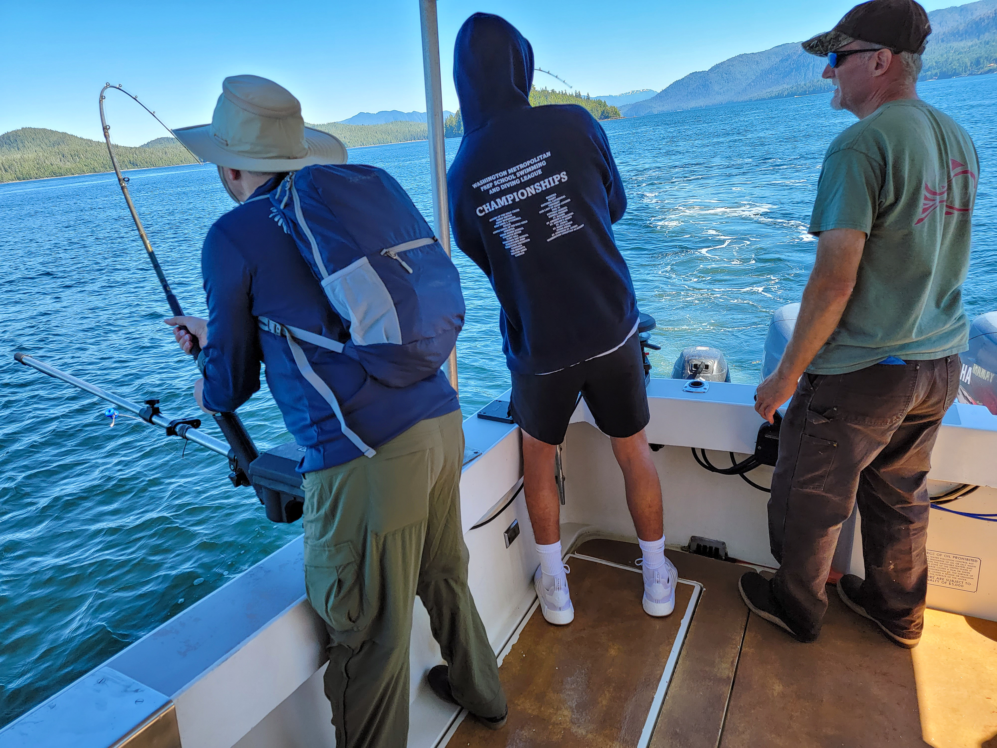

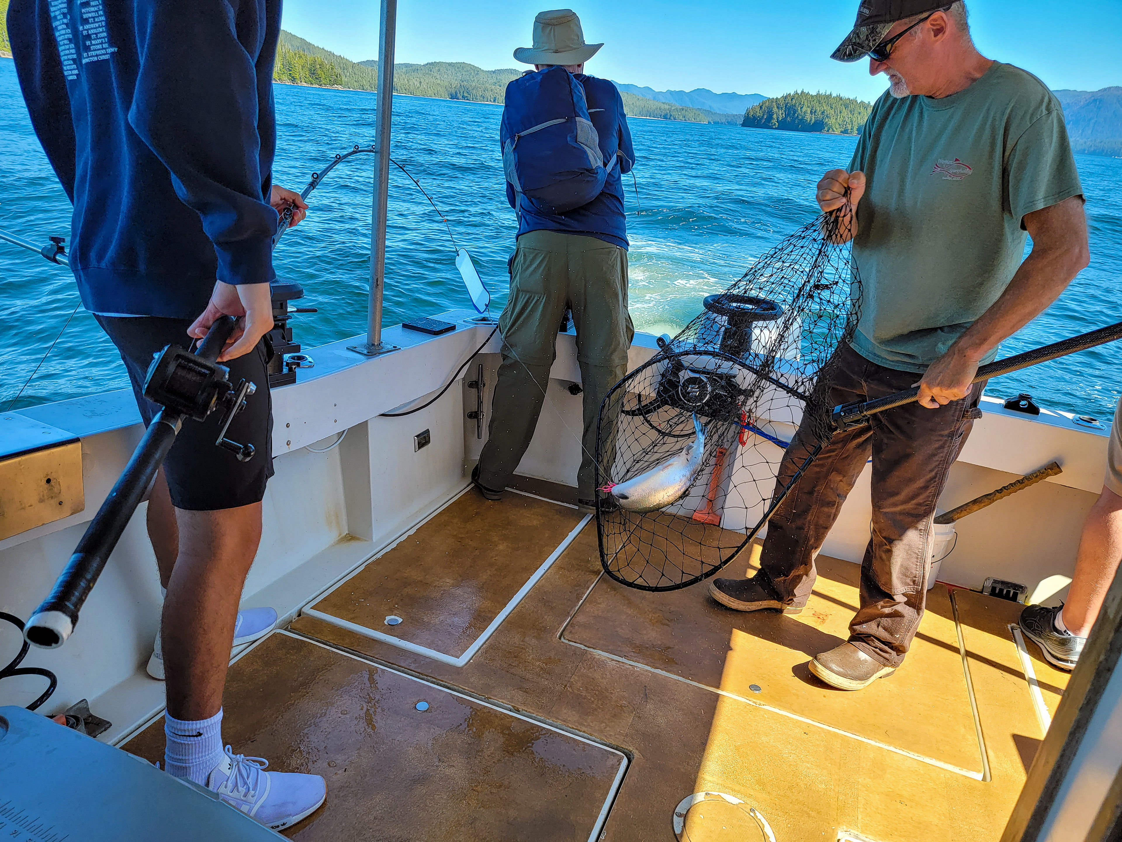
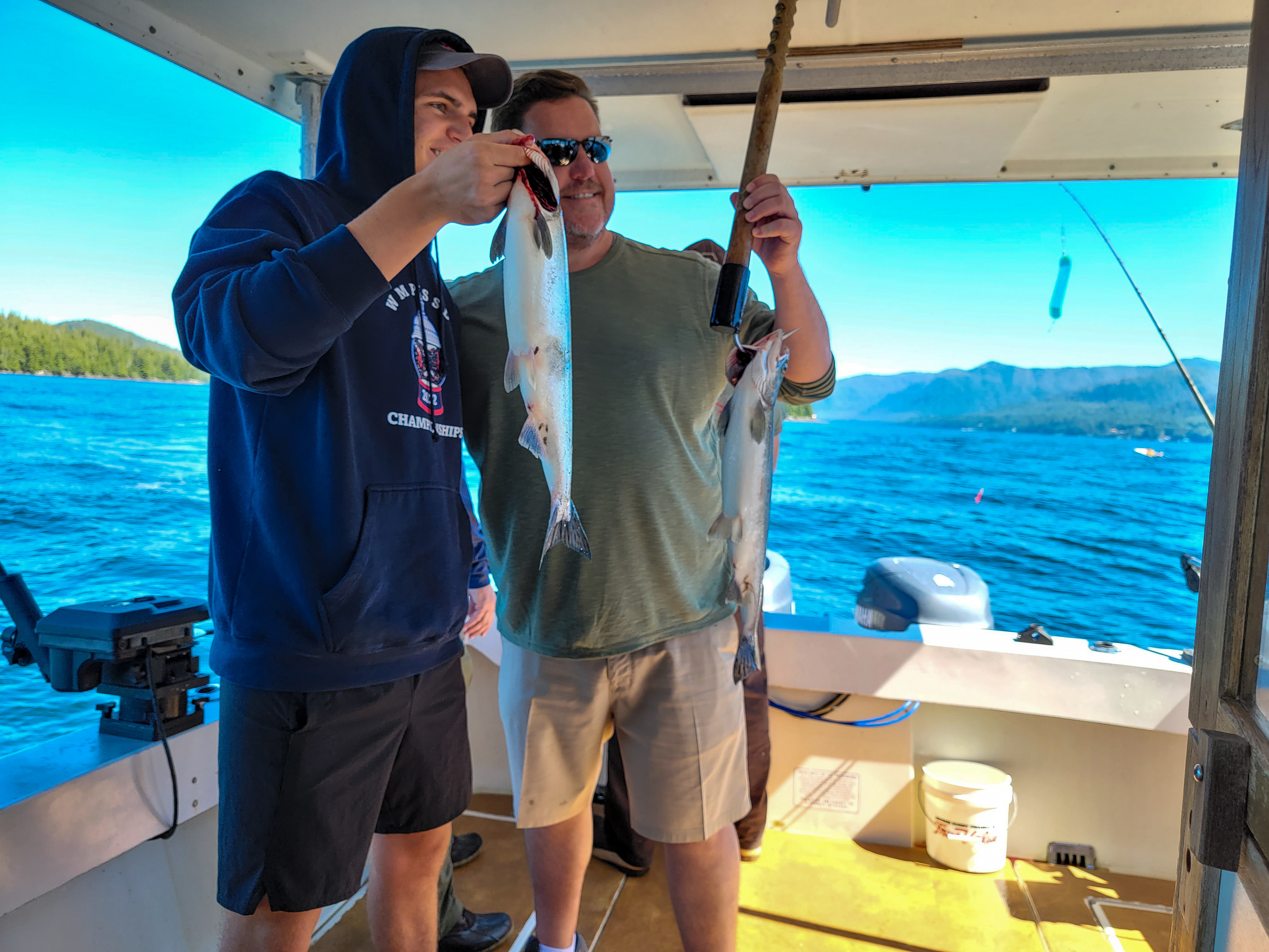
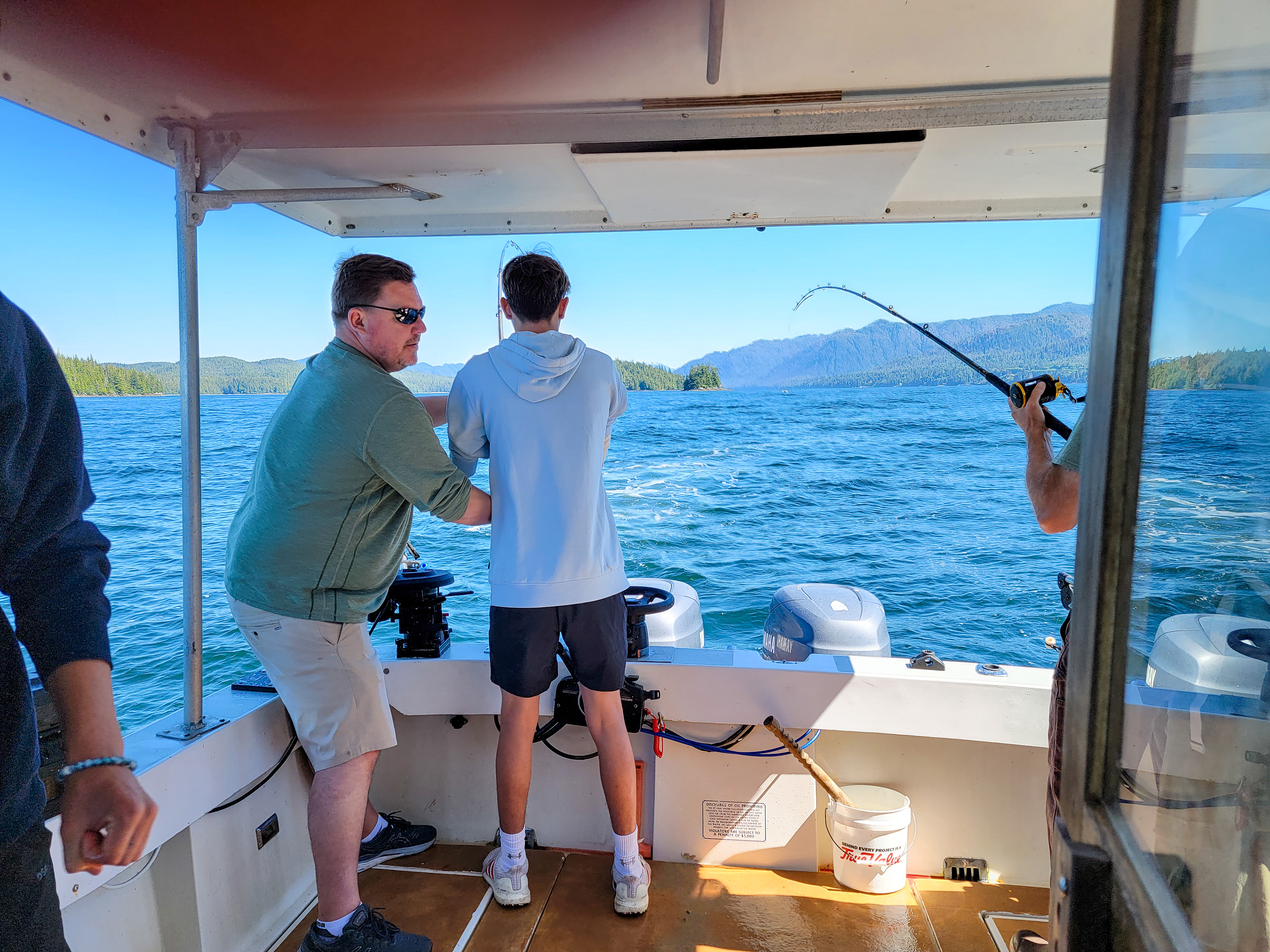
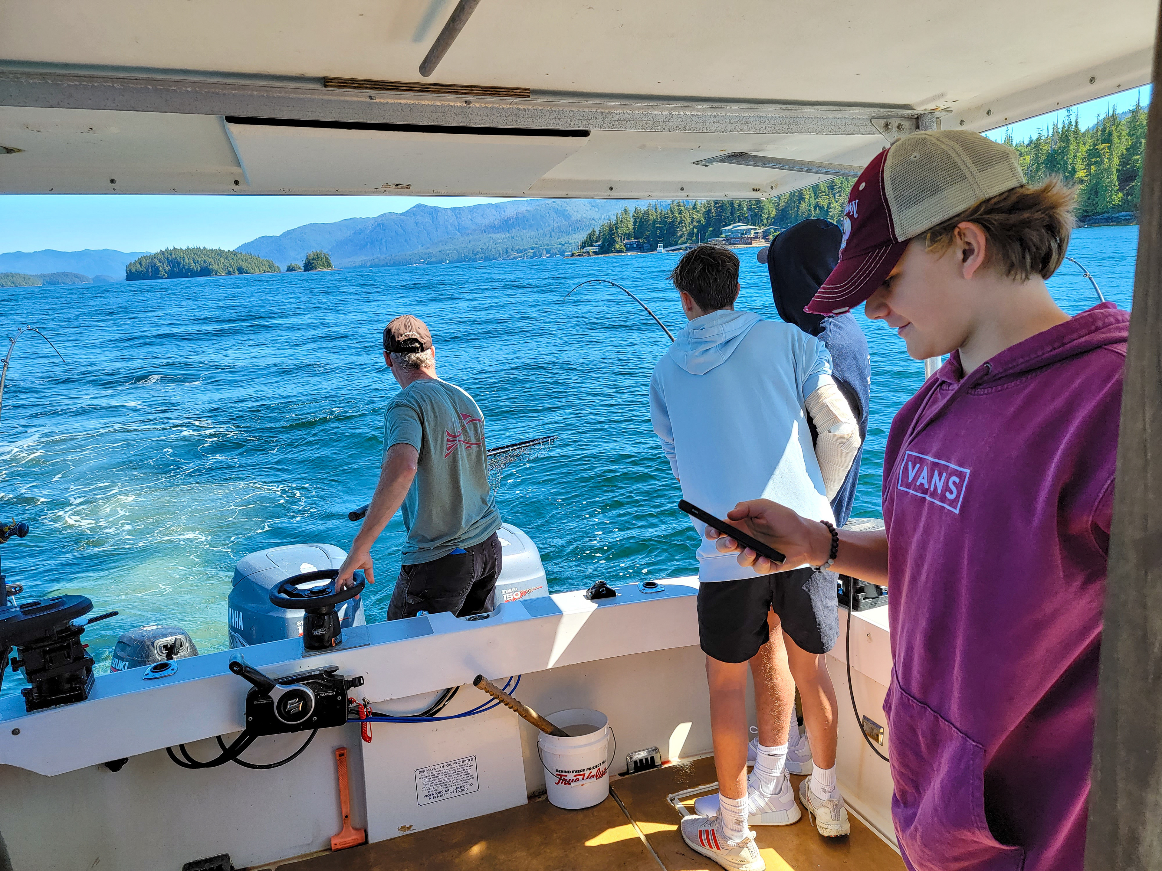
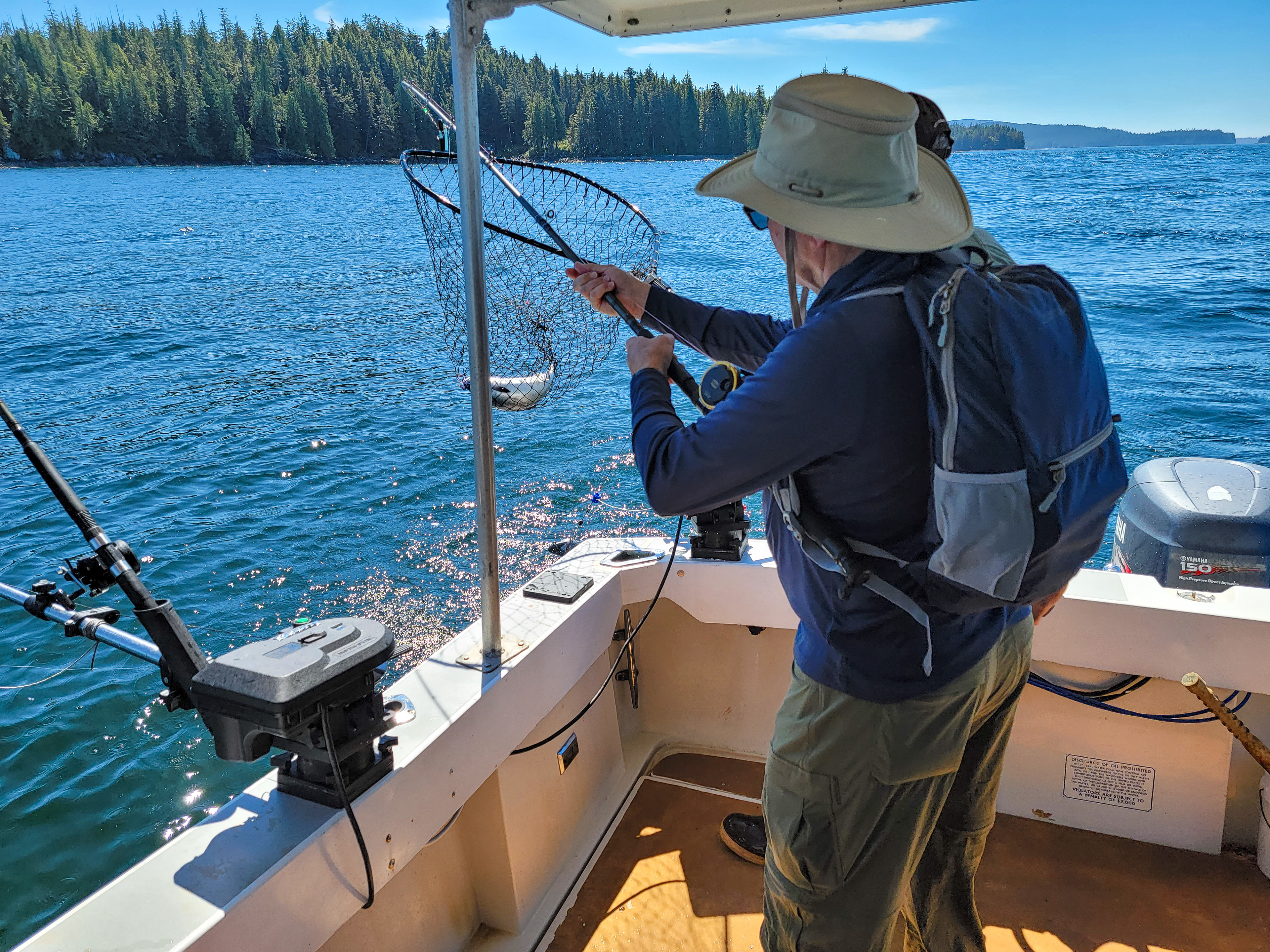
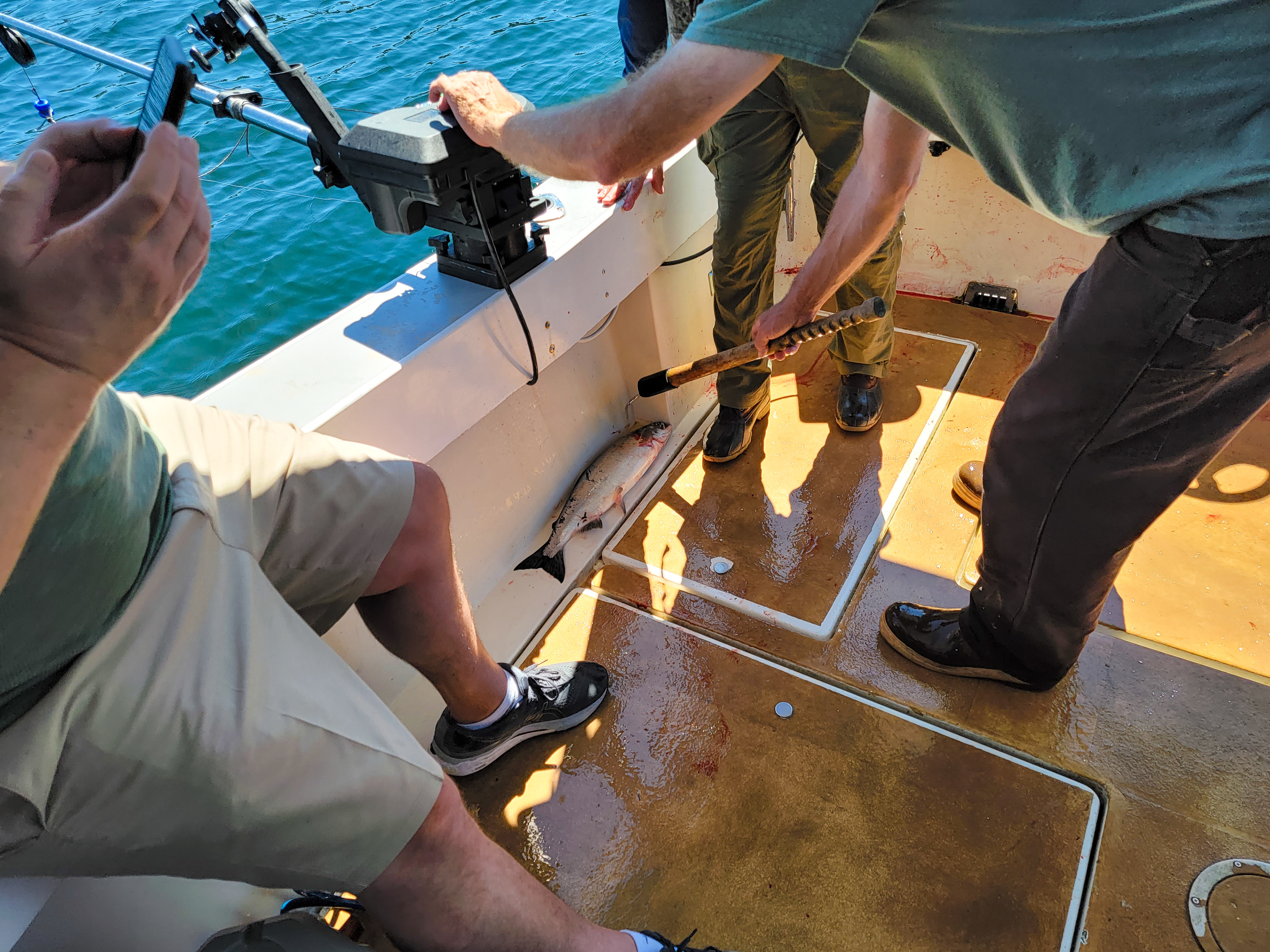
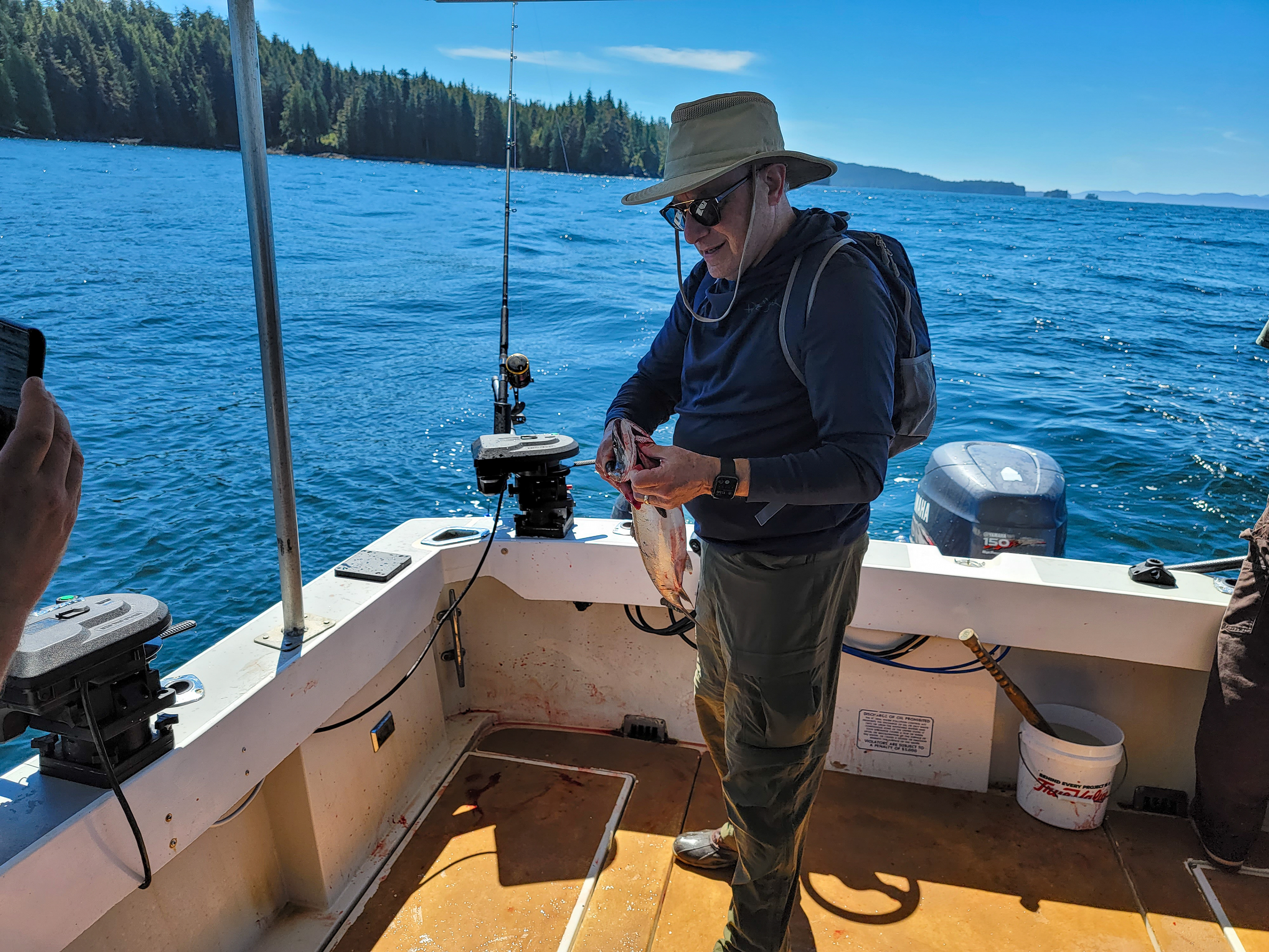
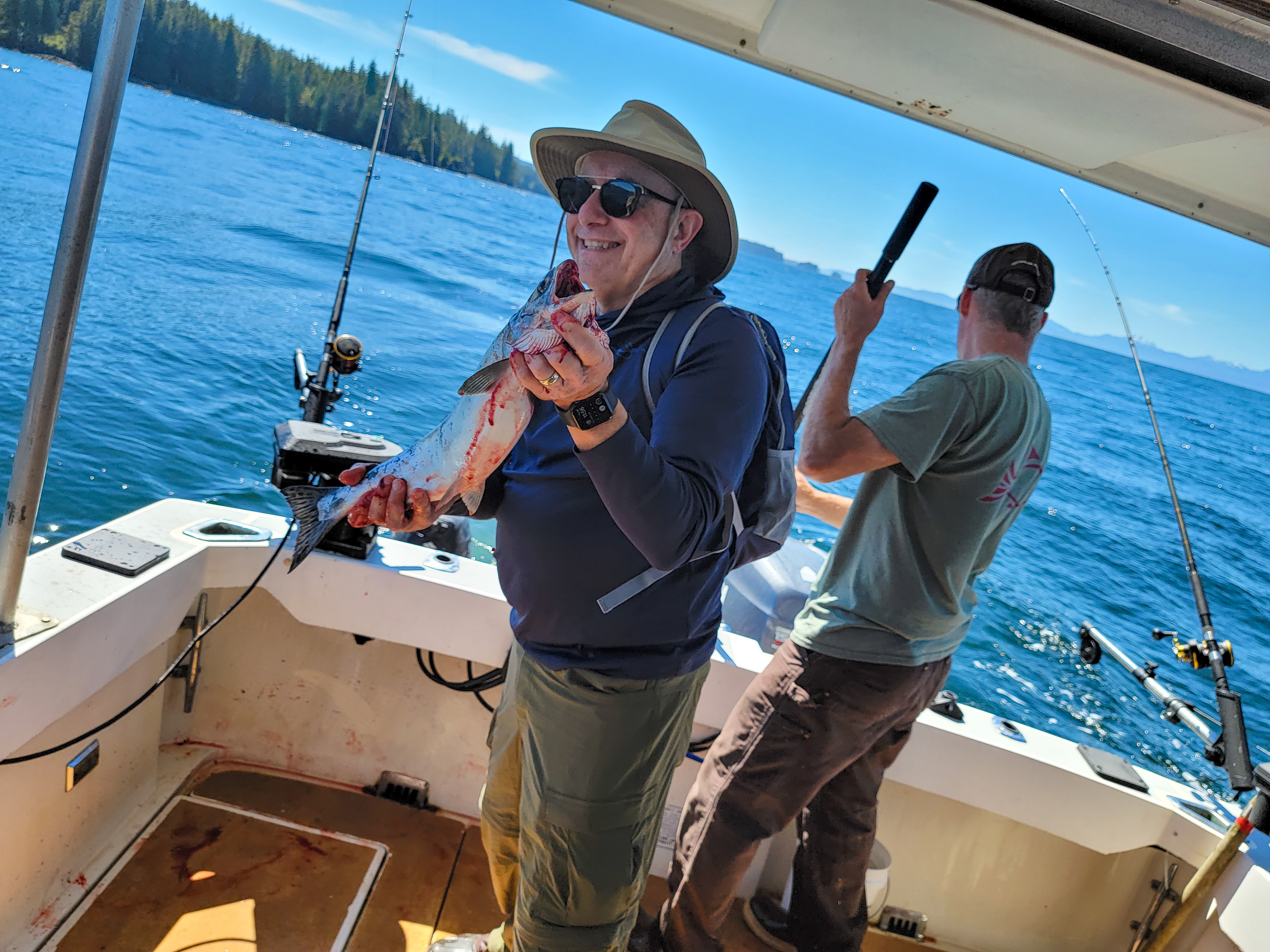


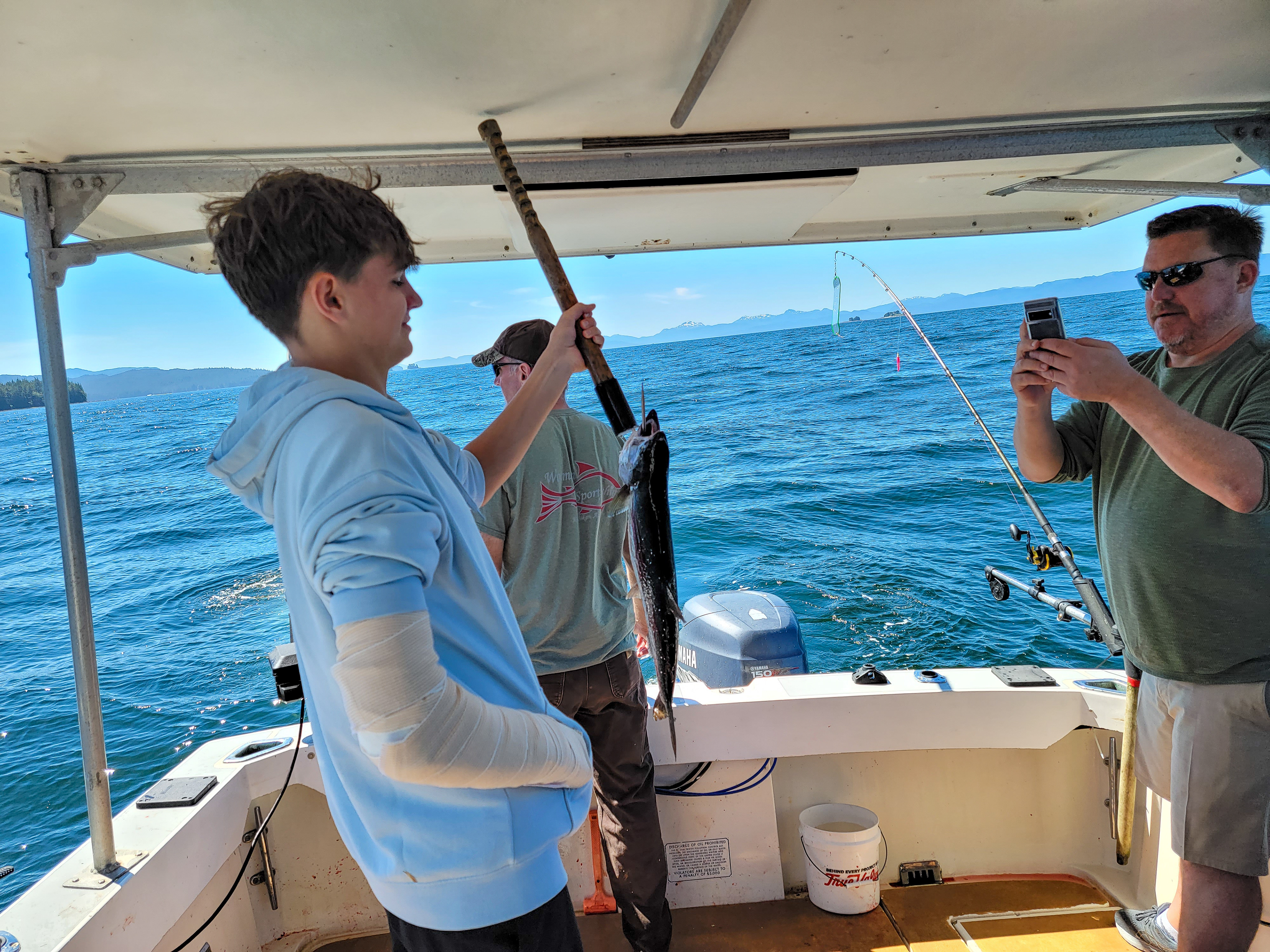
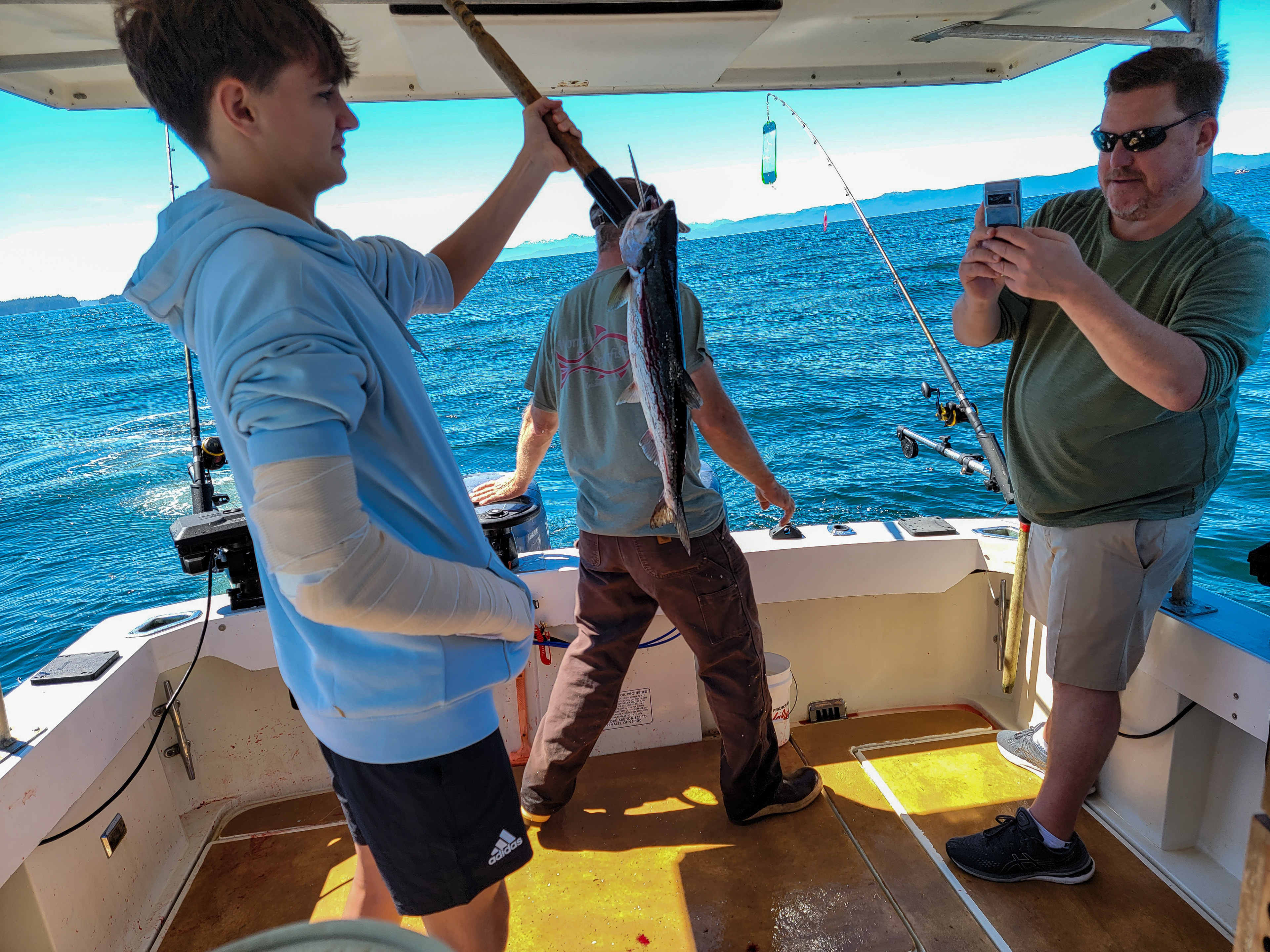
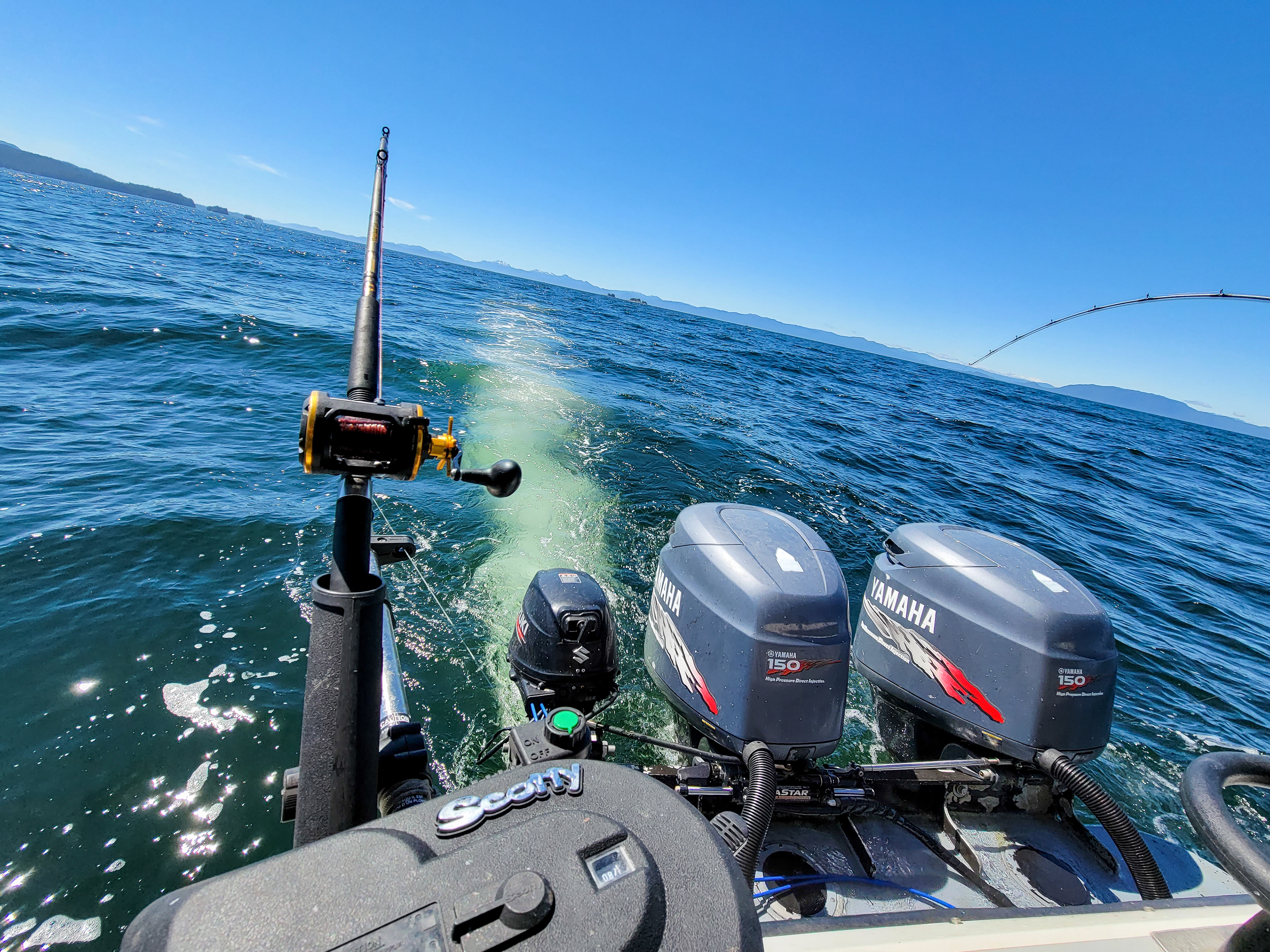
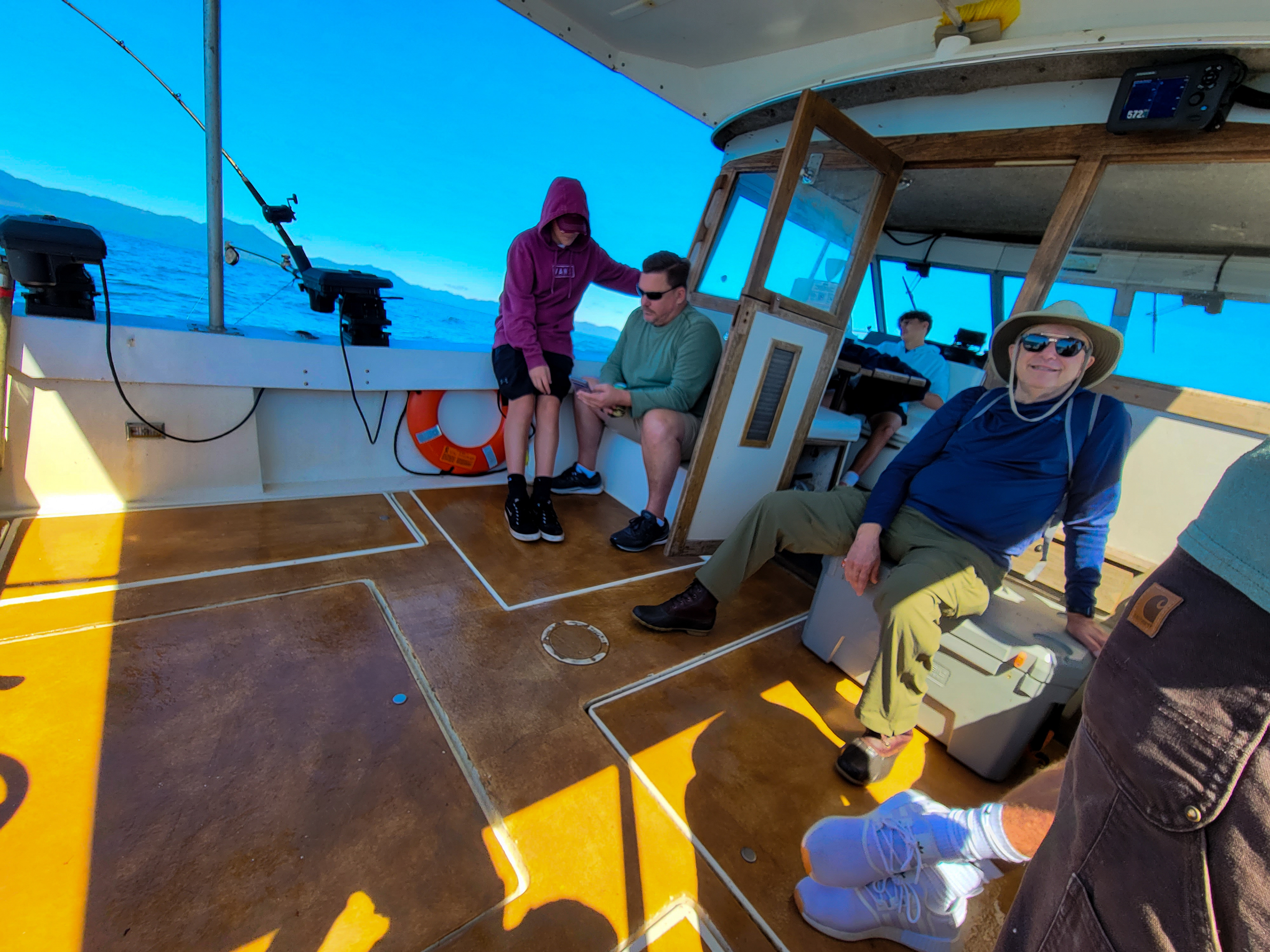
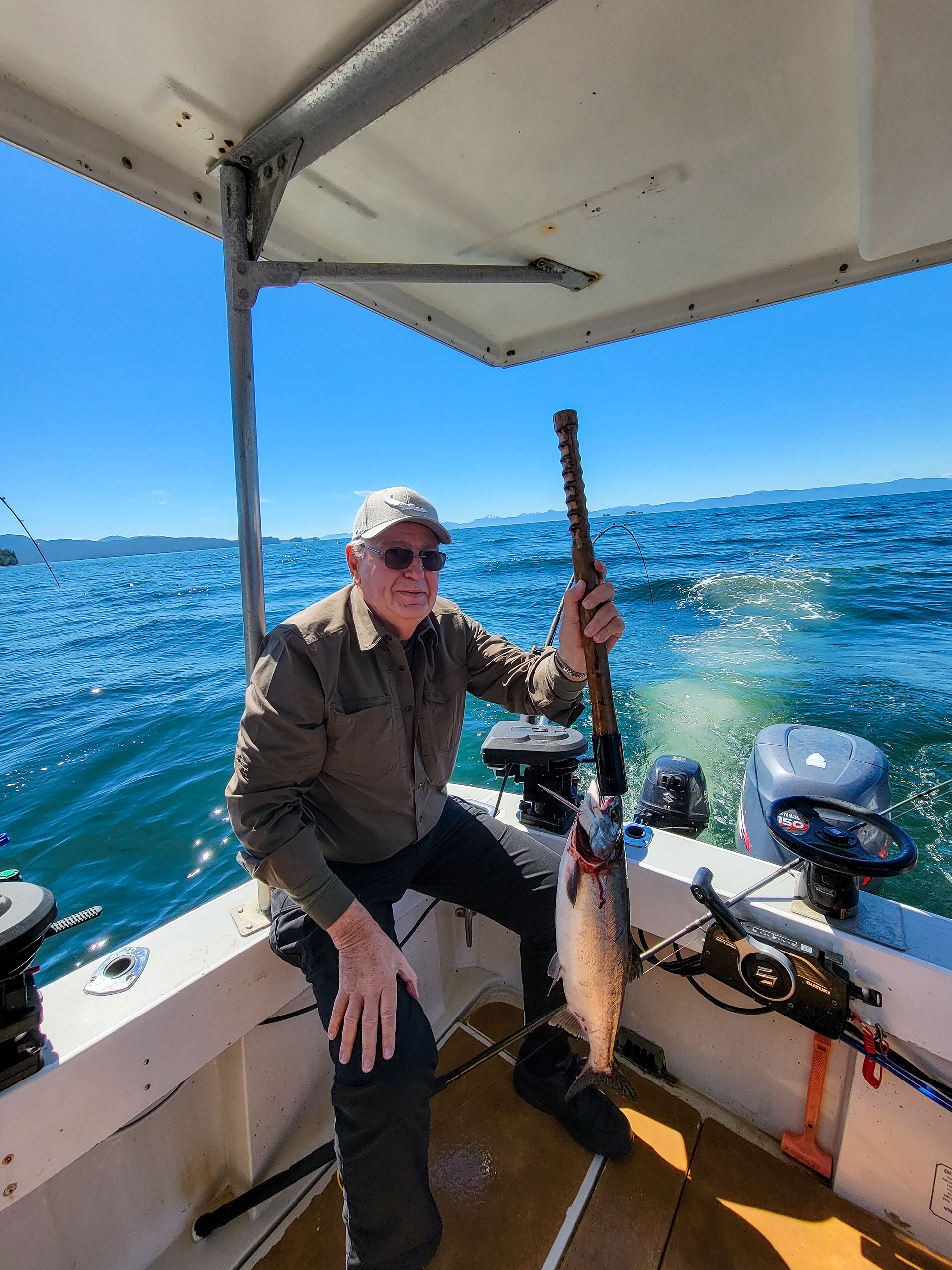
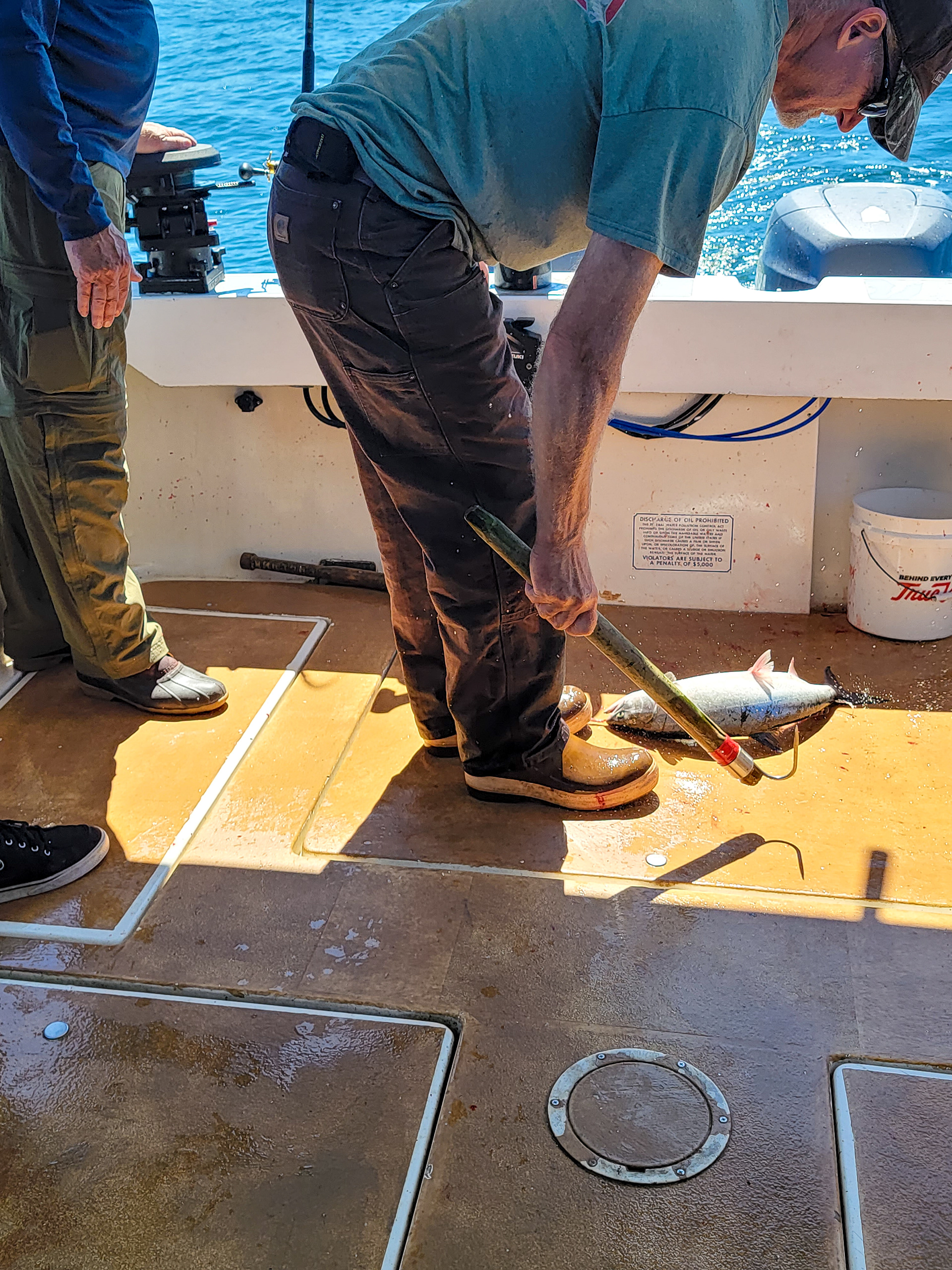

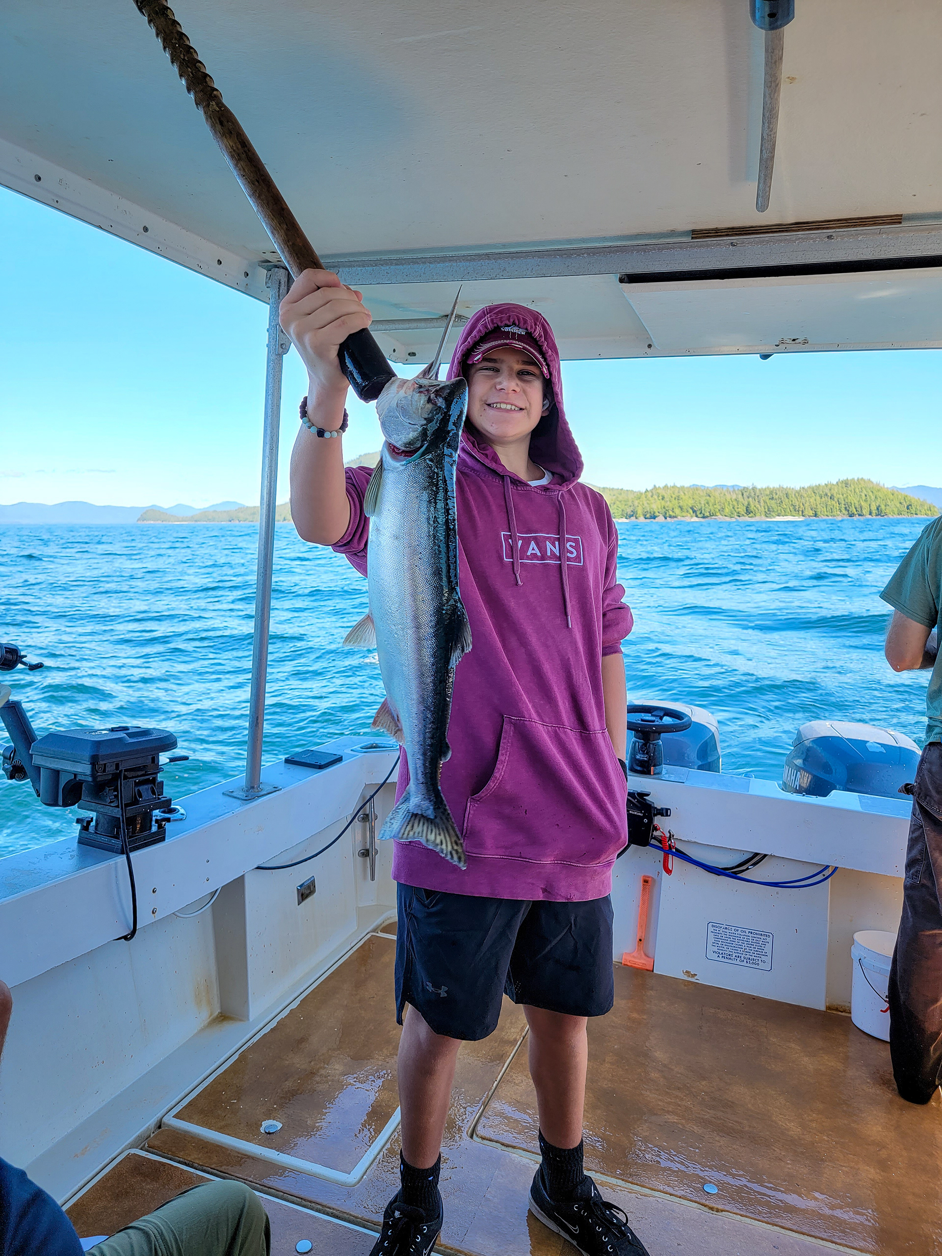
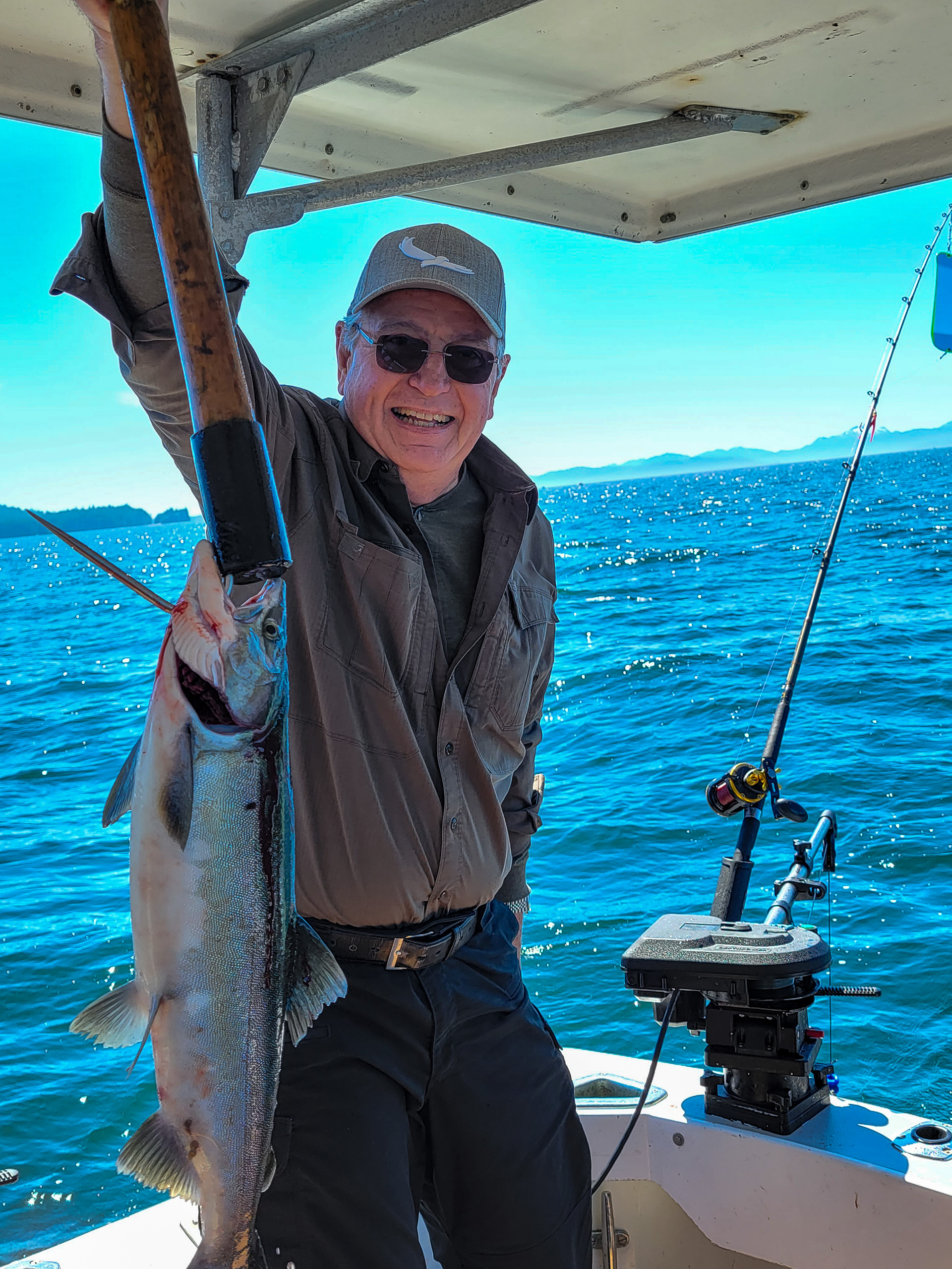
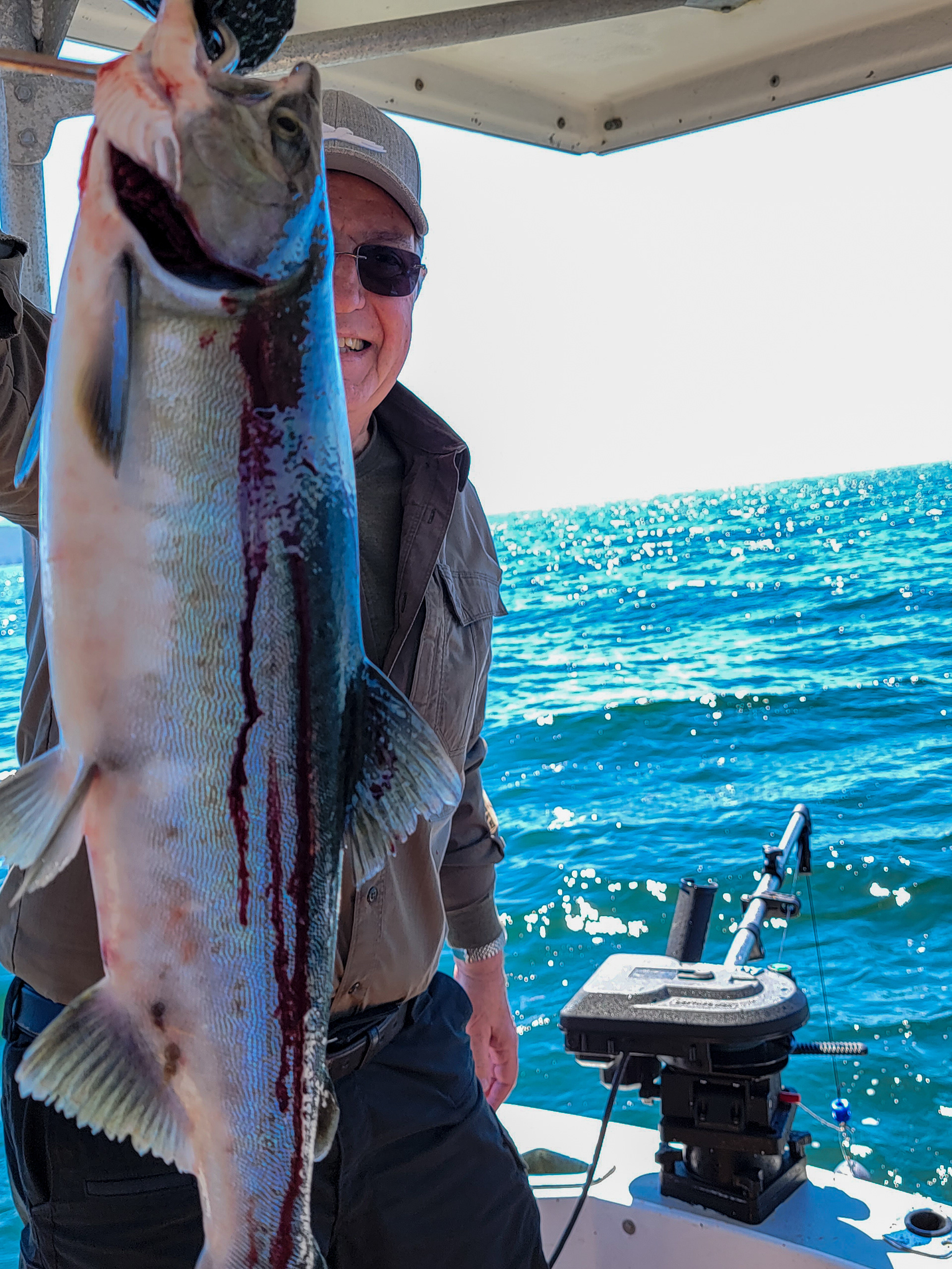
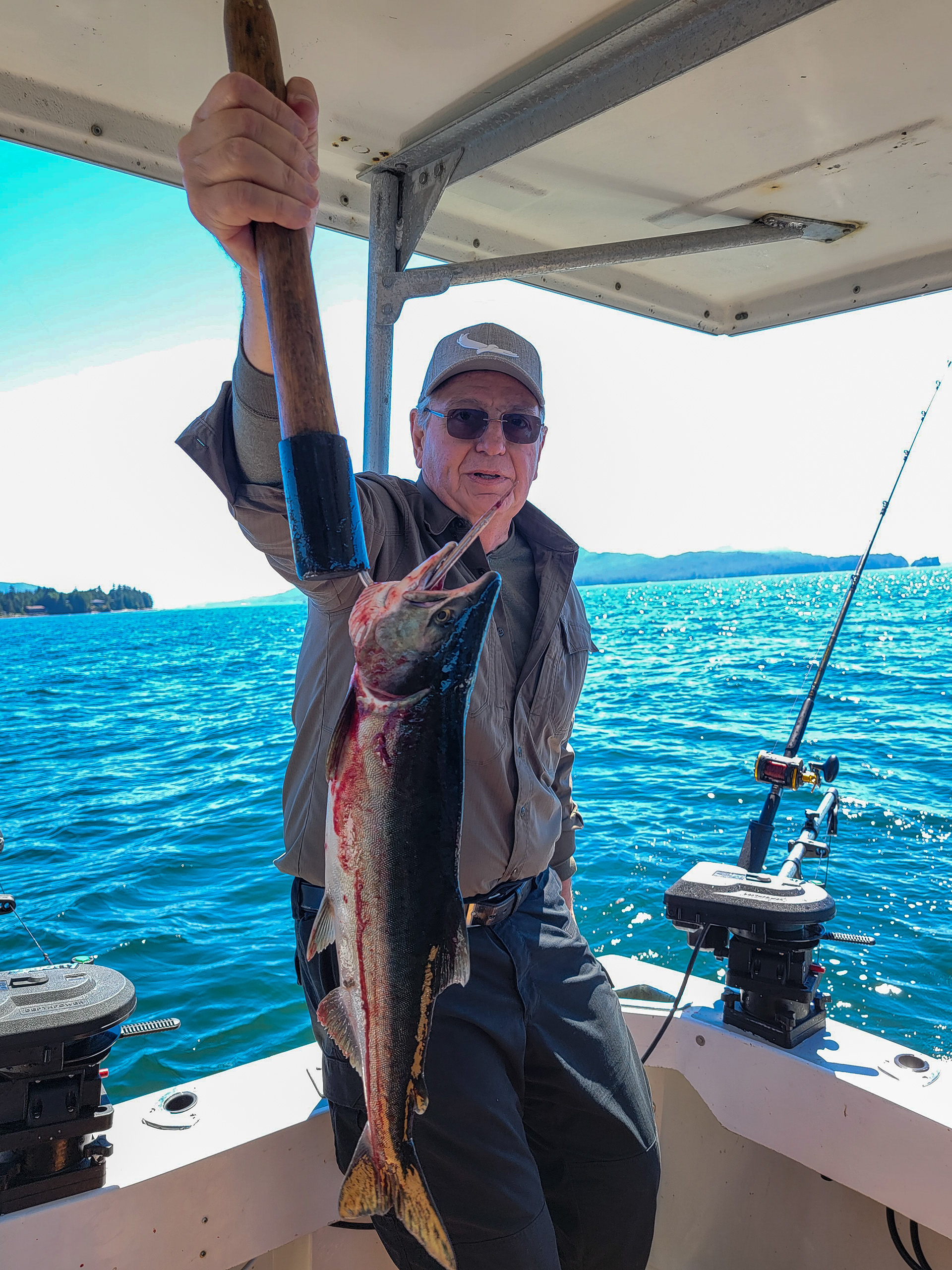

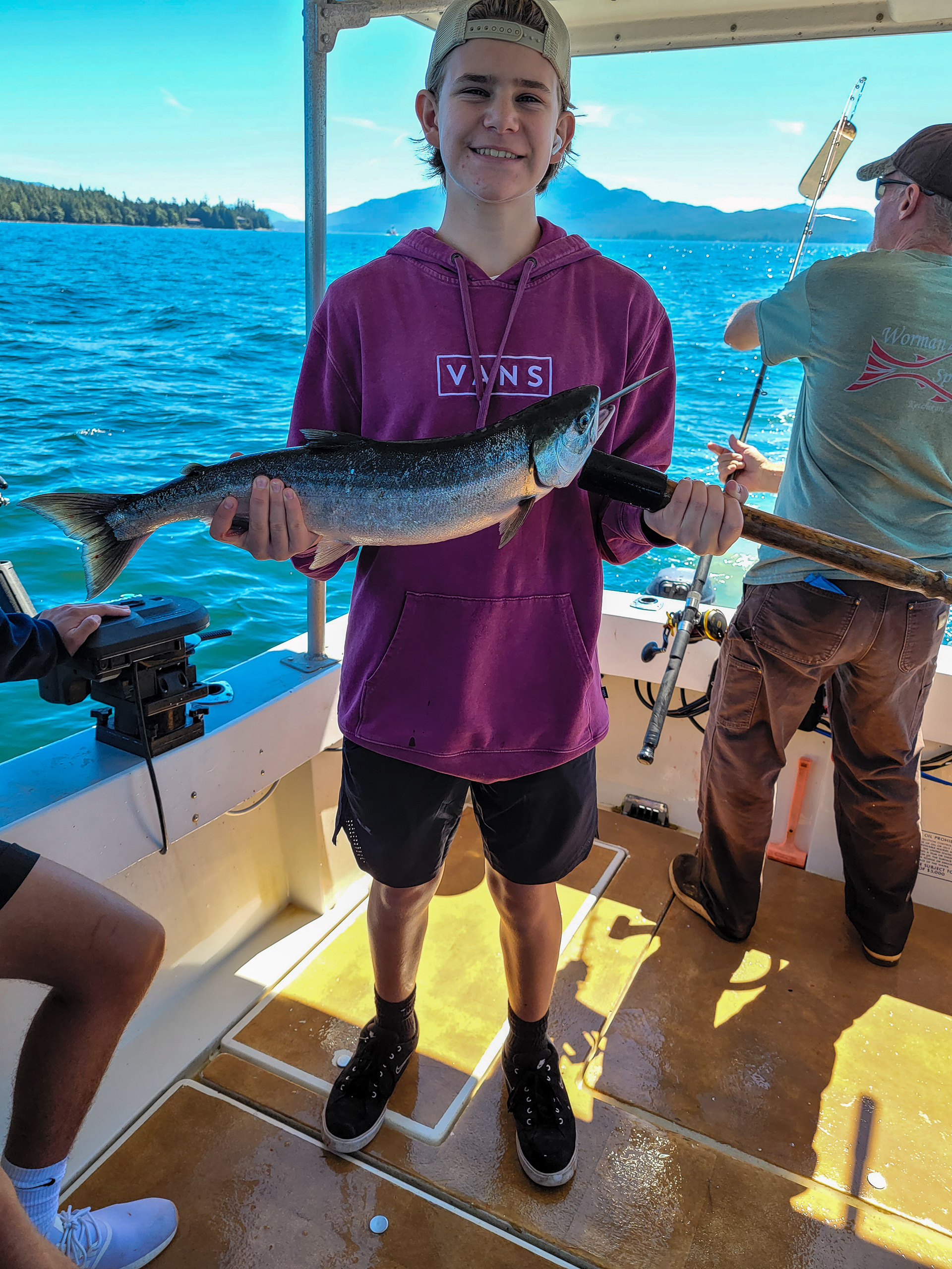
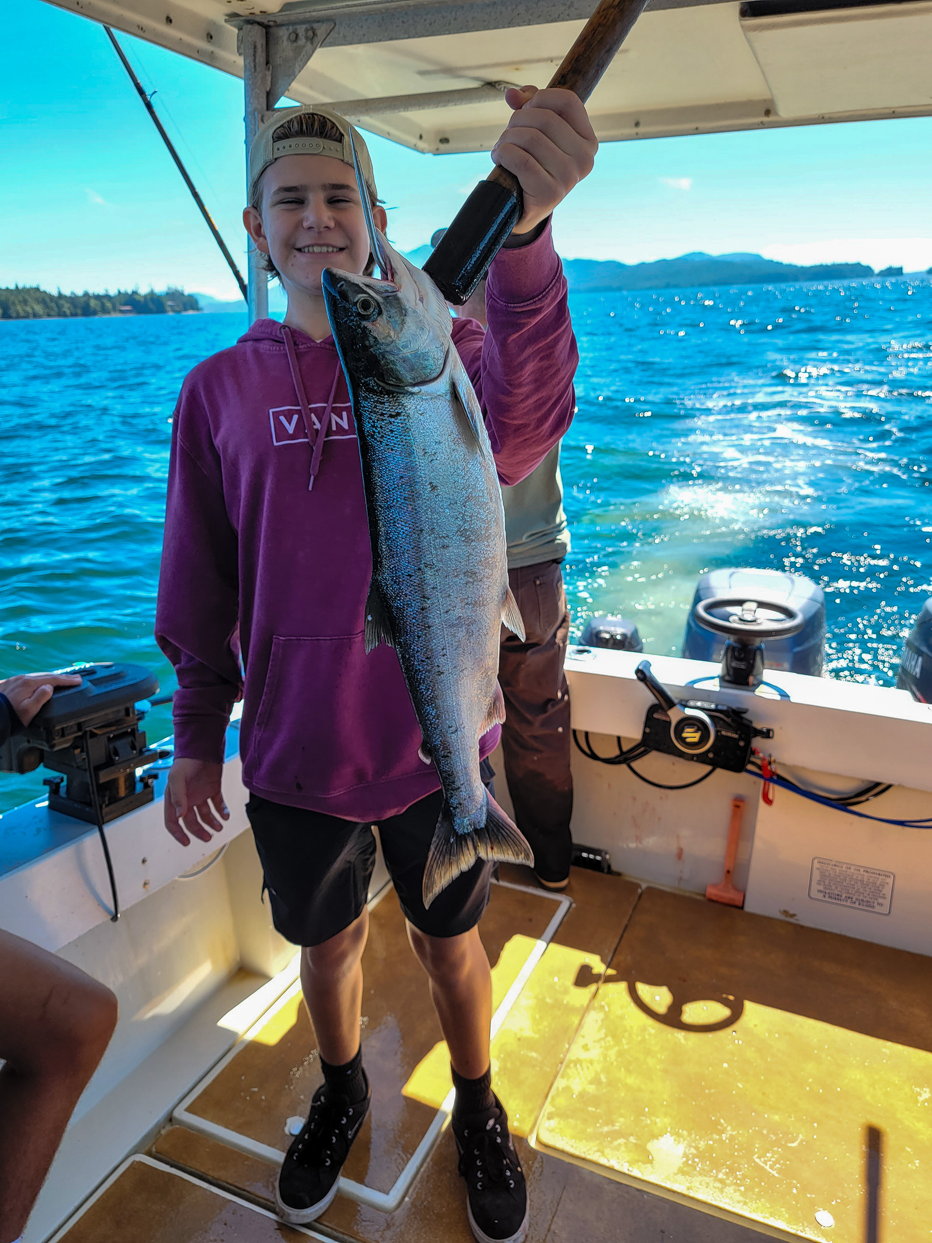
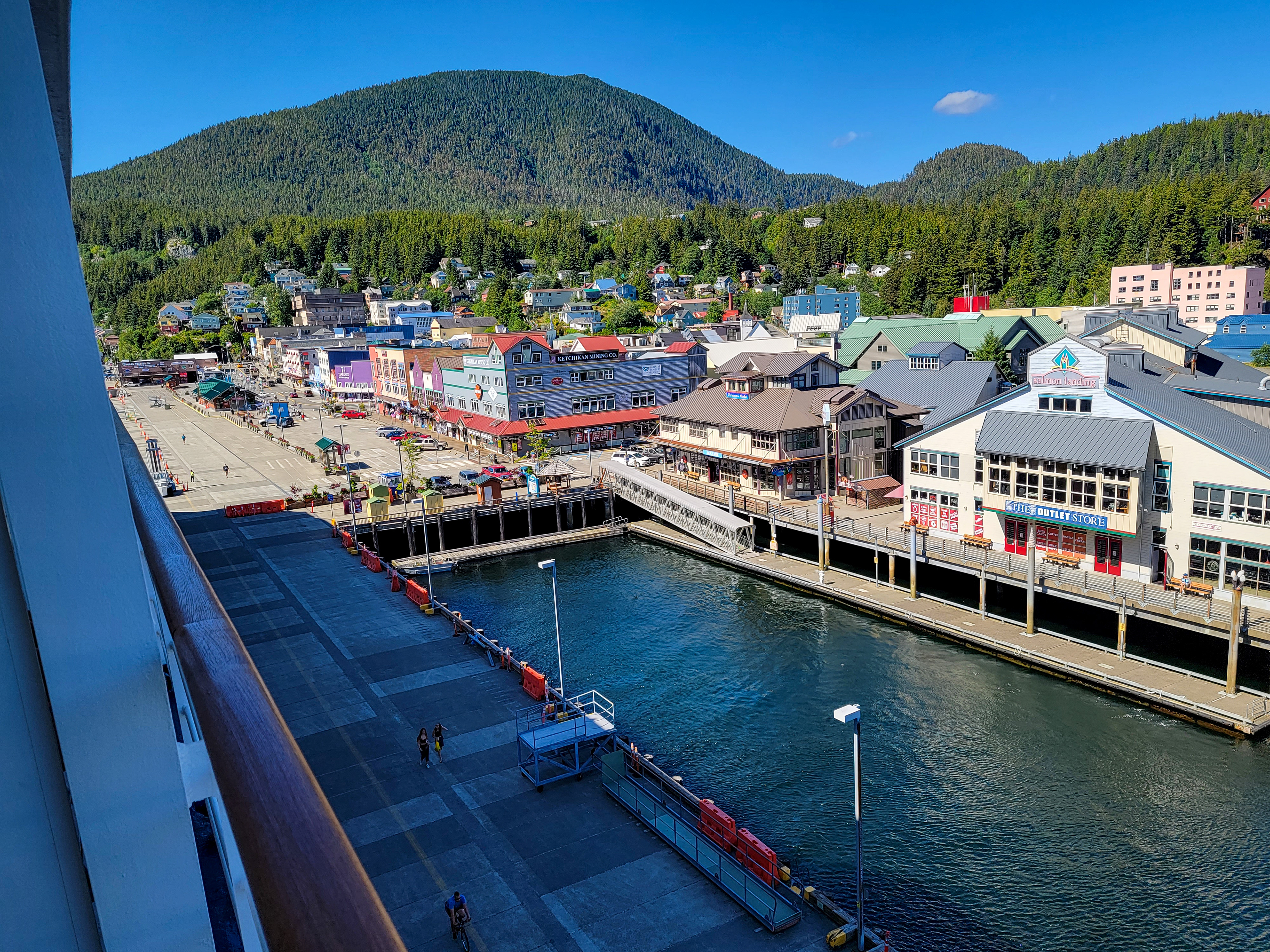
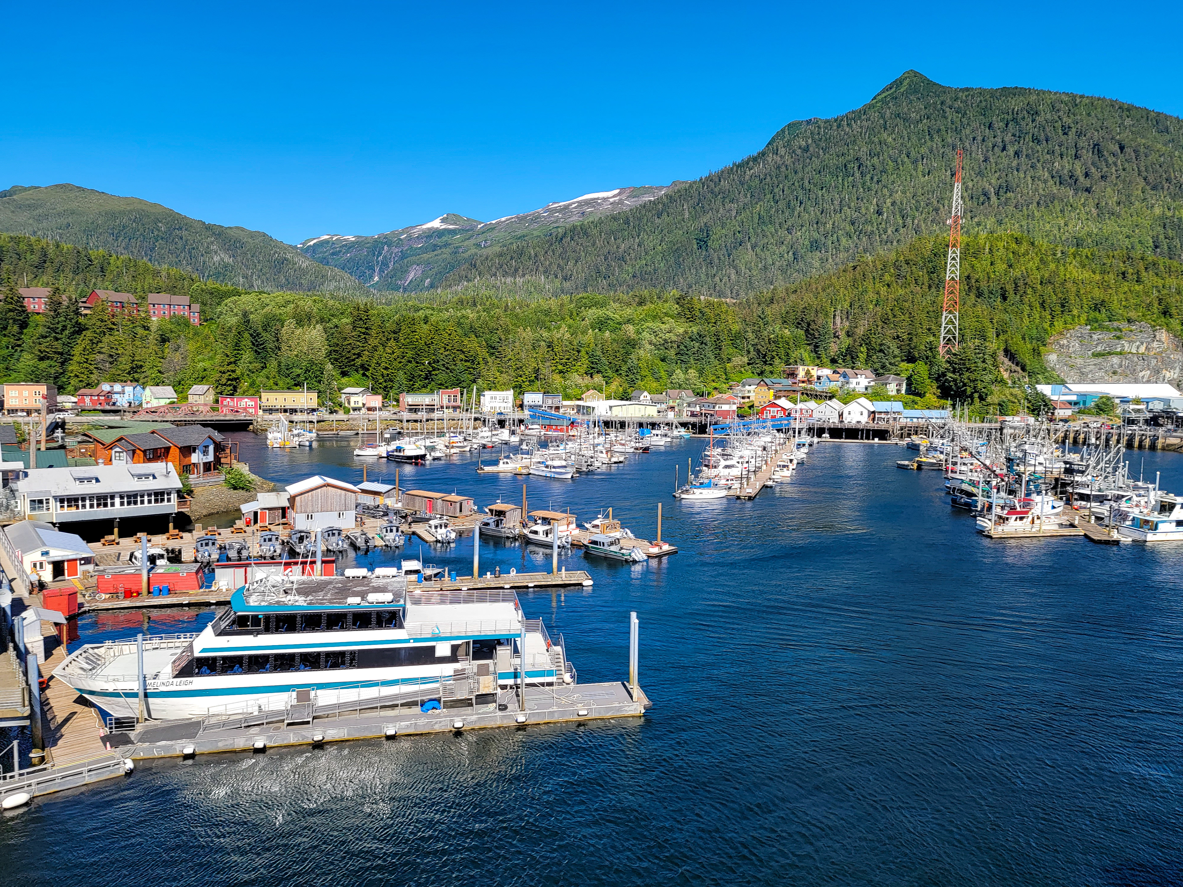
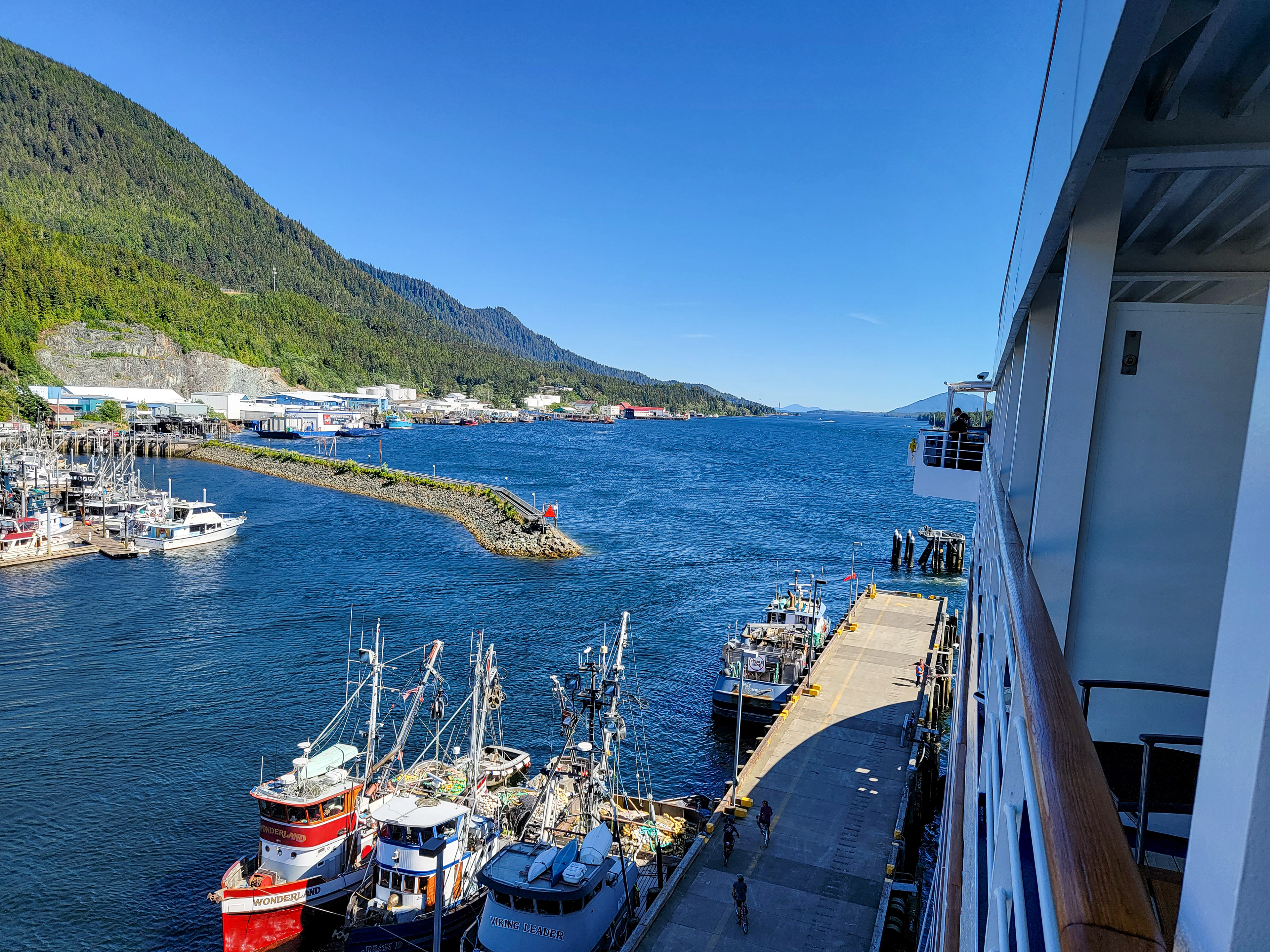
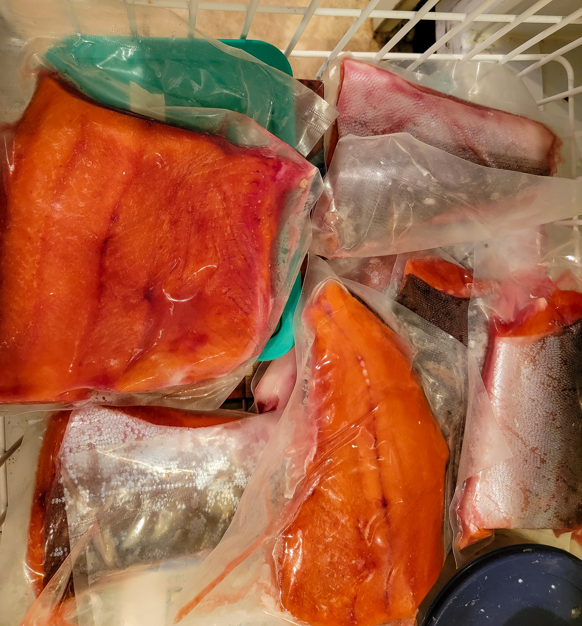
The 26th in Ketchikan was the only sunny day we had during the entire trip. Of course, the city photographs beatifully in this clear sunny atmosphere. There was a big Coast Guard station here. In the next step, I went salmon fishing. Downtown Ketchikan is a National Historic District. Ketchikan is located on Revillagigedo Island, so named in 1793 by Captain George Vancouver. Ketchikan is named after Ketchikan Creek, which flows through the town, emptying into the Tongass Narrows a short distance southeast of its downtown. "Ketchikan" comes from the Tlingit name for the creek, Kitschk-hin. Ketchikan Creek served as a summer fish camp for Tlingit natives for untold years before the town was established by Mike Martin in 1885. He was sent to the area by an Oregon canning company to assess prospects. He established the saltery Clark & Martin and a general store with Nova Scotia native George Clark, who had been foreman at a cannery that burned down. Ketchikan became known as "Alaska's first city" due to its strategic position at the southern tip of the Inside Passage, connecting the Gulf of Alaska to Puget Sound. Ketchikan has the world's largest collection of standing totem poles, found throughout the city and at four major locations: Saxman Totem Park, Totem Bight State Park, Potlatch Park, and the Totem Heritage Center. Most of the totems at Saxman Totem Park and Totem Bight State Park are recarvings of older poles, a practice that began during the Roosevelt Administration through the Civilian Conservation Corps. The Totem Heritage Center displays preserved 19th-century poles rescued from abandoned village sites near Ketchikan. The Chief Kyan pole in Whale Park in the city center is one of the featured background images in most US passports.


